
Dease Lake to Prince Rupert, B.C.
Distance:
Time: 451 miles / 725 km
Time: 8h30m
It is somewhat surprising how late a paved highway came to this part of the world. The Alaska Highway was constructed during WWII. The Cassiar or Stewart-Cassiar Highway did not begin construction until 1959, and it is the only other way through B.C. to Alaska. The highway originally ran SOUTH from the Alaska Highway to Cassiar. Then, the road was built down to Meziadin Junction and then west to Stewart to allow asbestos from Cassiar to be exported by sea. The road was not completed south to the rest of B.C. until about 1975. The last part of the route, covered in mud, was featured in the May 1973 National Geographic.
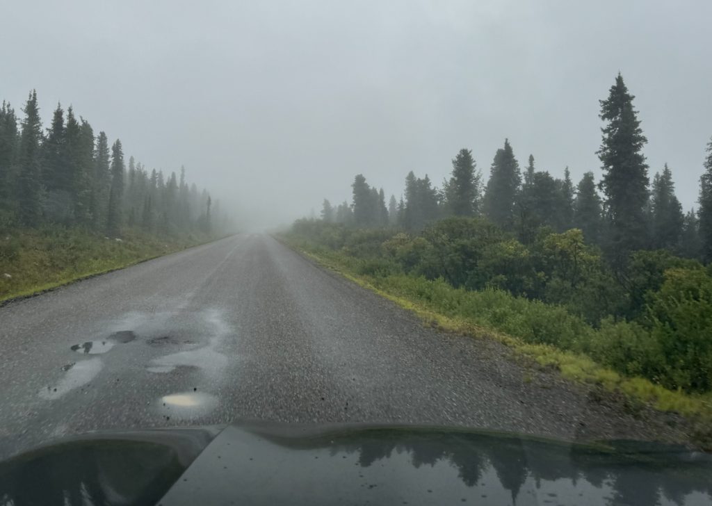
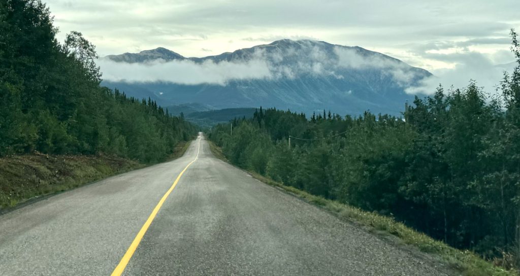
Headed south on the Stewart-Cassiar Highway from Dease Lake. Overall, this road is in better shape than the Alaska Highway, and there is less traffic. There are also fewer people and settlements of size along the way.
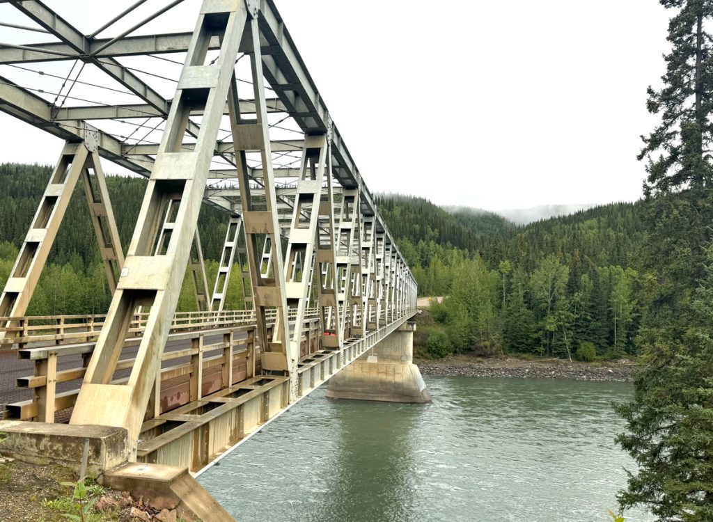
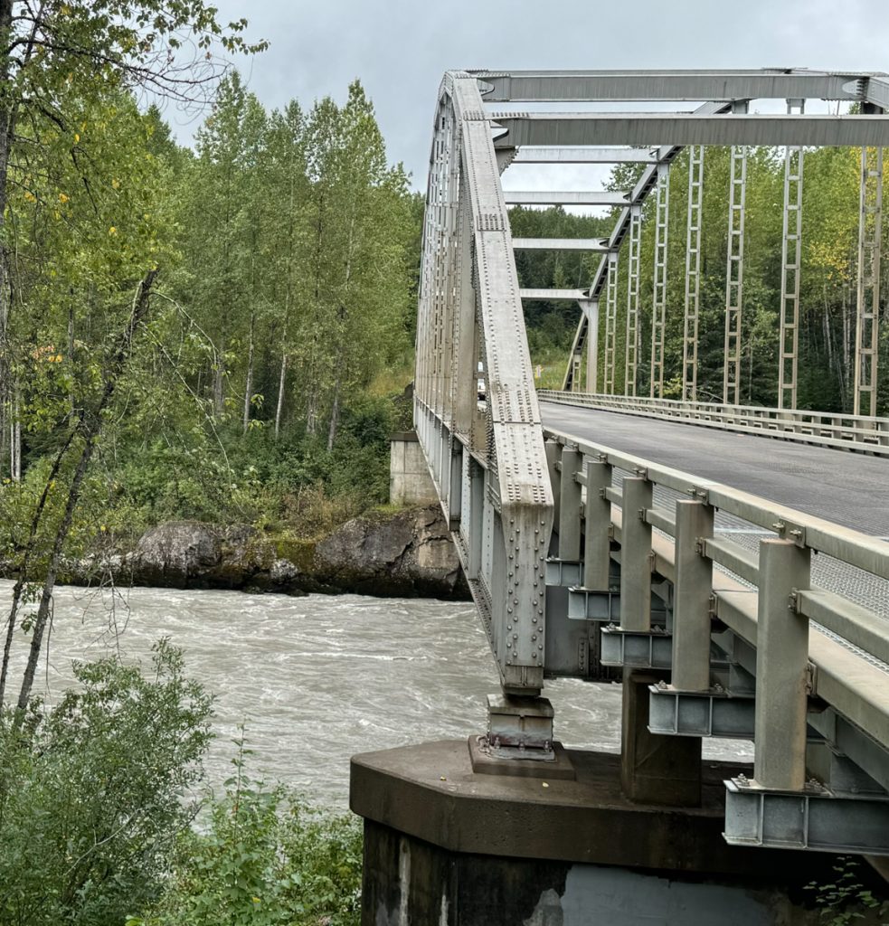
Looking north (back the way I came) at the bridge over the Stikine River. This is just upriver from the Grand Canyon of the Stikine, one of the most challenging kayak descents on the planet, first successfully descended in 1981.
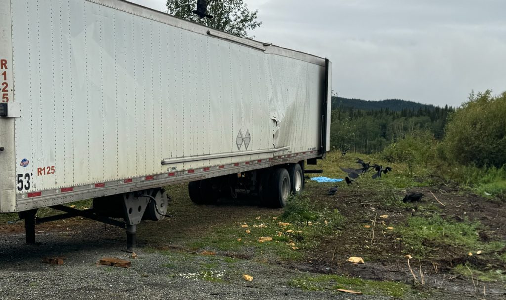
A tractor-trailer of bread had flipped over south of 40 Mile Flats. Ravens were feasting on what remained of the spilled cargo.
Approaching Kluachon Lake.
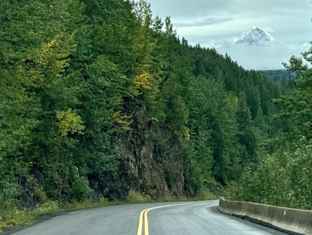
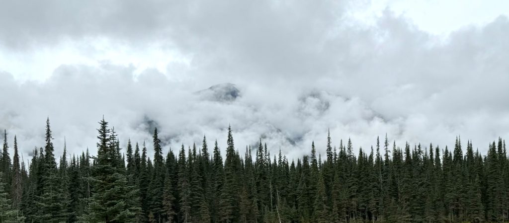
Near the Iskut River, a misty mountain (I’m not sure which one) rises from the clouds like Caradhras.
Near the Ningunsaw River. Around here a large quad-copter drone flew above my car for about a mile keeping pace with me. It was weird.
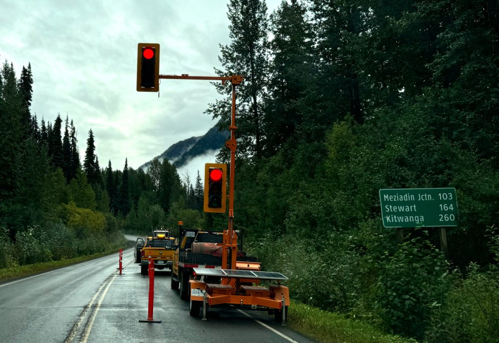
Another flag stop for one lane traffic through a construction zone.
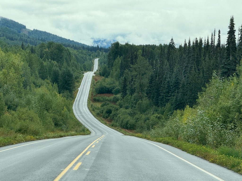
The road goes ever on and on… As I said before, this road is in good shape, and a more pleasant experience compared to the Alaska Highway.
Crossing the Bell-Irving River.
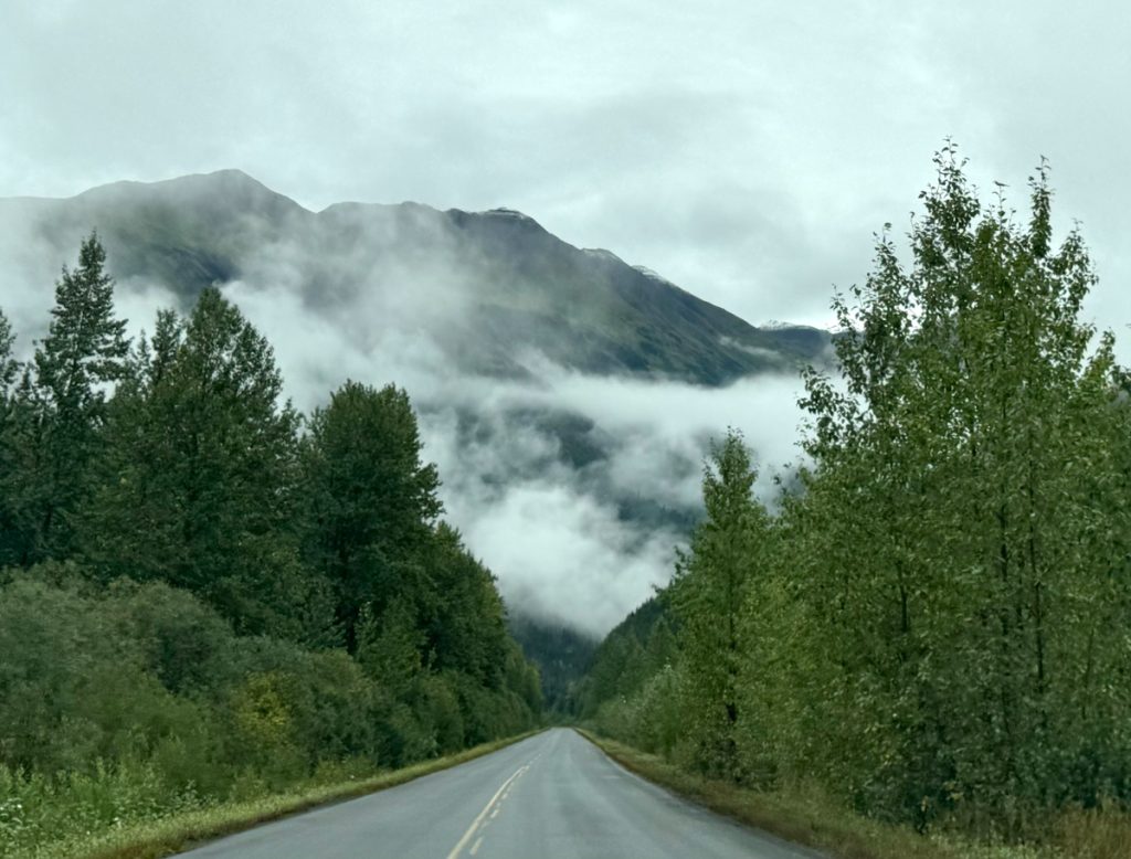
Cloud-shrouded mountains north of Meziadin Junction.
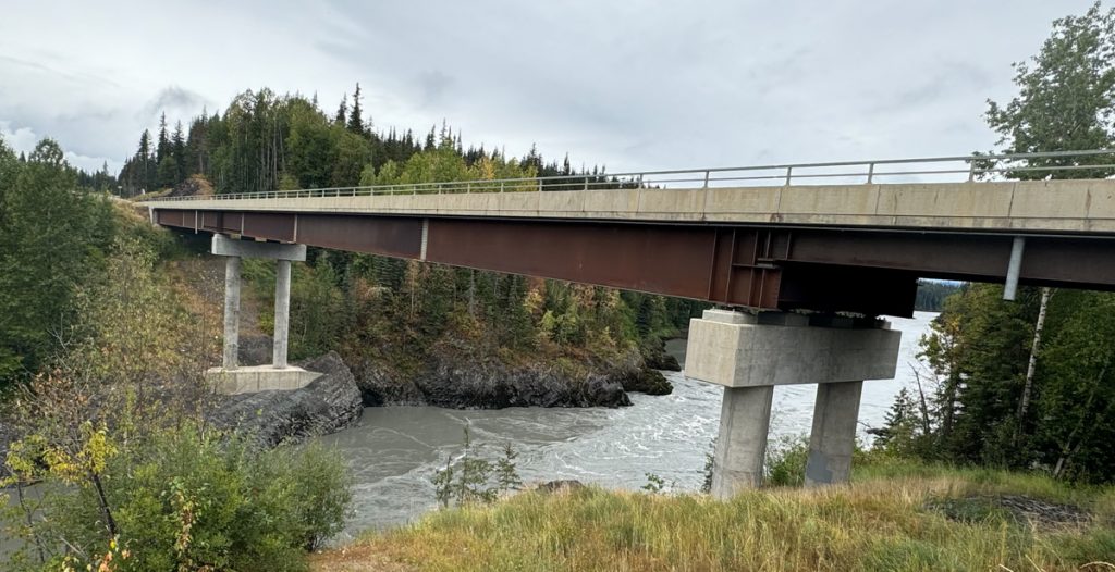
Nass River Bridge near the junction with the Meziadin River and Meziadin Lake south of Meziadin Junction. A newer bridge completed in 2019.
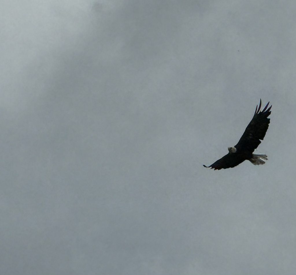
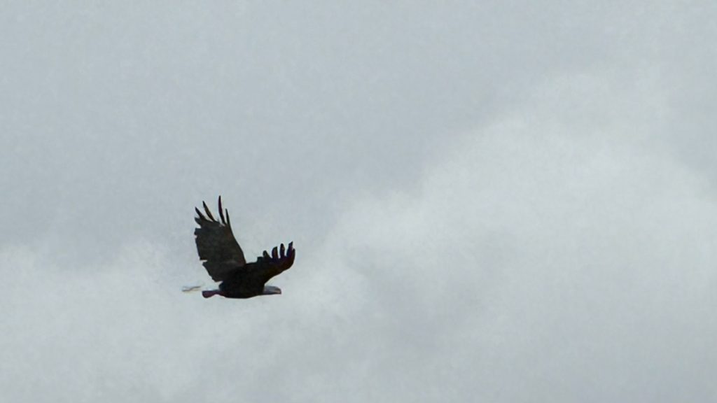
I saw two bald eagles circling the gorge from the overlook.
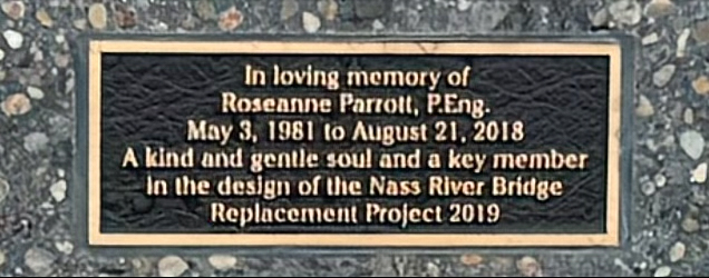
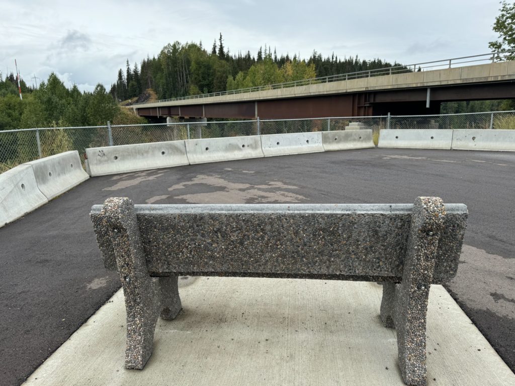
The overlook includes a memorial to Roseanne Parrott. An engineer on the project, she was killed in a traffic accident on a work assignment (“She loved animals, birds…,” Robert Parrott).
While the K-rails are less attractive, I suspect she wouldn’t have minded.
If Ms. Parrott, P.E. liked birds, her memorial bench is a fitting tribute.
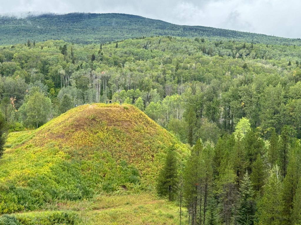
Daa’ootsip, or Battle Hill was a fortified village of the Gitwangak (“people of the place of rabbit”) built in the late 1700s by the famous Gitwangak chief ‘Nekt to dominate the nearby Kitwankul Grease Trail. ‘Nekt’s armor was the leather hide of a grizzly bear with overlapping slate plates glued to the inside, which made him almost impervious (except, apparently, from decapitation). ‘Nekt wielded a magical club, k’i’lux (“Strike-Only-Once”). Note the small figures on the top of the hill for scale.
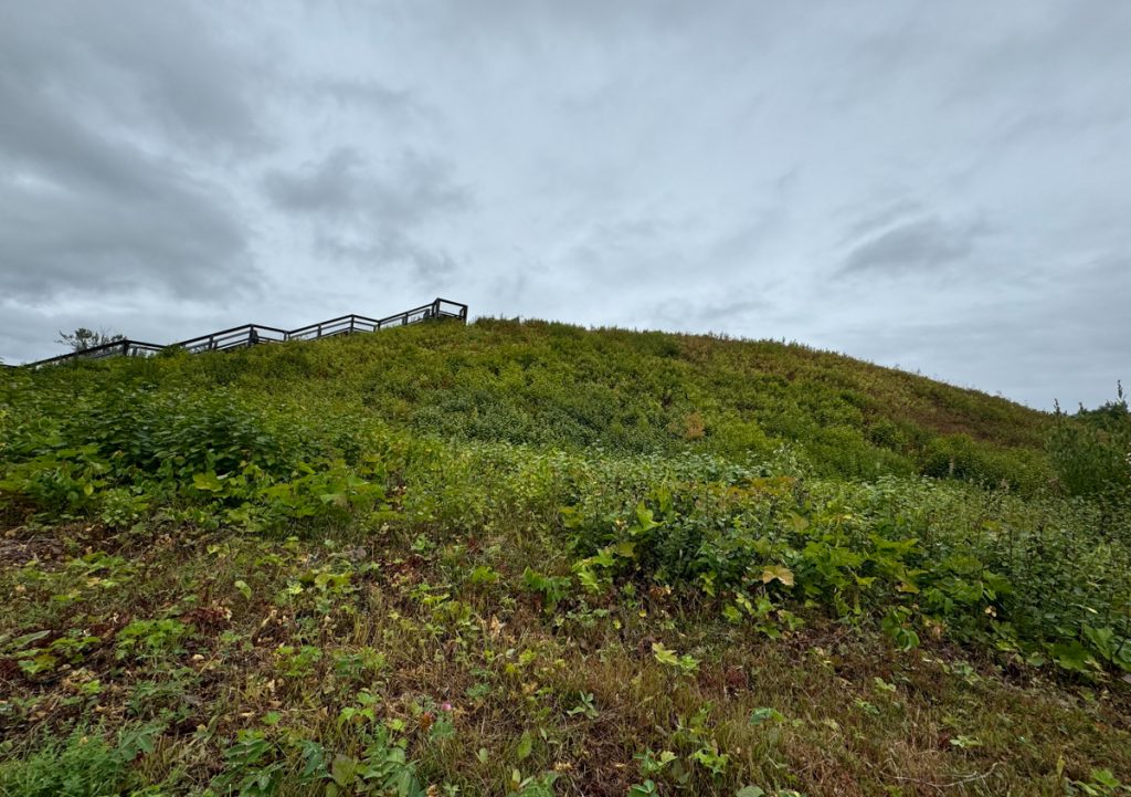
The hill was once topped by five houses and a fortified palisade with spiked logs that could be rolled down to impale and crush attackers.
After Battle Hill, the Cassiar Highway ends at Highway 16, the Yellowhead Highway, in Kitwanga. Traveling west from there, I passed near the a village of the Kitselas Indian Band, and the Kitselas Canyon National Historic Site.
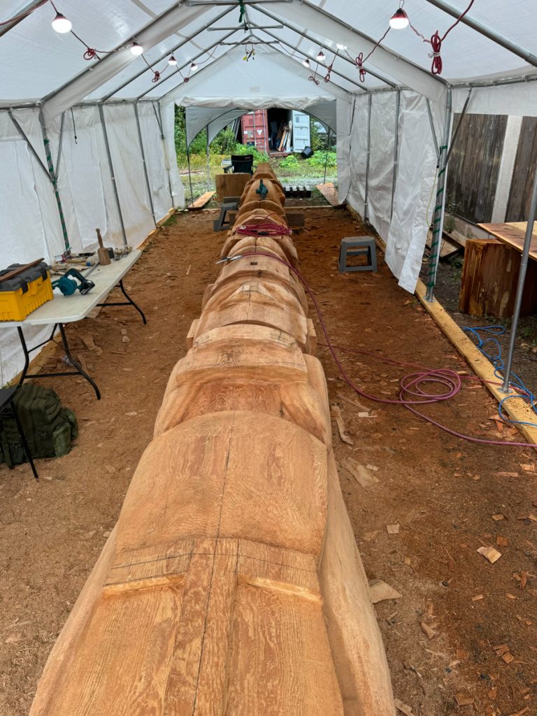
There, I met four Kitselas woodcarvers ending their work for the day on a new totem to be raised at the new community centre under construction nearby. They were very gracious and shared details about their techniques and gave me permission to snap photos. Their worksite smelled amazing, with fresh cut wood, though they all admitted they could not smell it after working on it for so long.

They then gave me a tour of buildings containing several centuries-old wooden totems that were being preserved. We discussed this raven which had been stolen and then recovered. The wings were broken off and then damaged again when they were nailed back to the body. (“Nailing! You should use dowels!” they exclaimed).
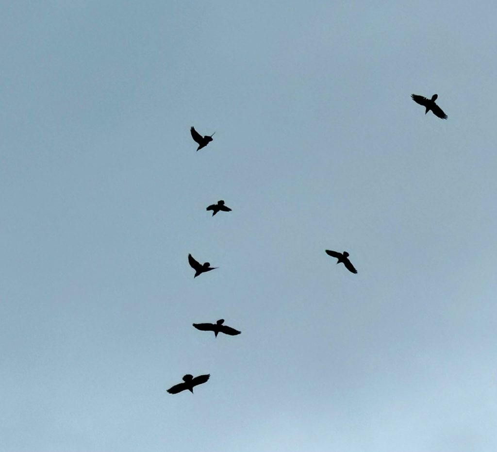
I then took a hike down to the Skeena River and I was followed by dozens of ravens dancing in the air.
And resting on this leafless tree, and then dancing into the air again.
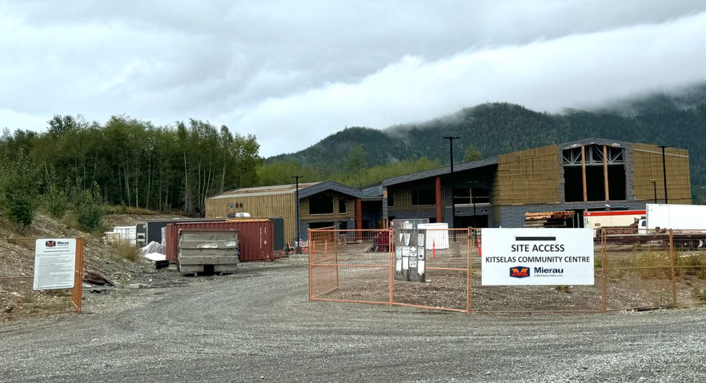
The new Kitselas Community Centre, where the new totem will be raised.
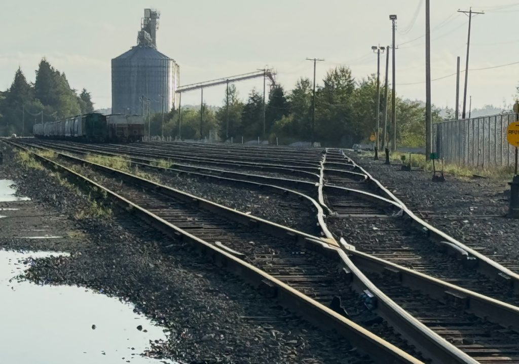
The Yellowhead Highway ends in Prince Rupert. The drive was wet and rainy. There were many large waterfalls cascading into the very wide Skeena River as it approached the shore. Here, the CN ladder tracks approaching the grain and intermodal terminals at Prince Rupert.
A Viking’s Walkabout: | Prologue | Day 01 Calif. to Az. | Day 02 Az. to N.M. | Day 03 N.M. to Colo. | Day 04 Colo. | Day 05 Colo., Kan., Neb. | Day 06 Part 1 Neb. | Day 6 Part 2 Neb. to S.D. | Day 07 S.D., Wy., Mont. | Day 08 Mont. to Alta. | Day 09 Alta. (Banff) | Day 10 Alta. (Grande Cache) | Day 11 Alta. to B.C. | Day 12 B.C. to Yukon | Day 13 Yukon | Day 14 Yukon to Alaska | Day 15 Alaska (Coldfoot) | Day 16 Part 1 Alaska (Atigun Pass) | Day 16 Part 2 Alaska (Deadhorse) | Day 17 Alaska (Prudhoe Bay) | Day 18 Alaska (Fairbanks) | Day 19 Alaska (Anchorage) | Day 20 Alaska (Anchorage) | Day 21 Alaska (Tok) | Day 22 Alaska to Yukon | Day 23 Yukon | Day 24 Yukon to B.C. | Day 25 B.C. (Prince Rupert) | Day 26 B.C. (Prince George) | Day 27 B.C. (Vancouver) | Day 28 B.C. to Wash. | Day 29 Wash. to Or. | Day 30 Or. | Day 31 Or. to Calif. | Day 32 Calif. |