A Day of Drama… the Day I Over-prepared For… Planned: Deadhorse to Coldfoot, Alaska… As Executed: Deadhorse to Fairbanks, Alaska by way of flat tire in Atigun and a patch in Coldfoot
Distance: 494 miles / 795 km
Time: ~13h15m factoring in changing and patching tires
The go
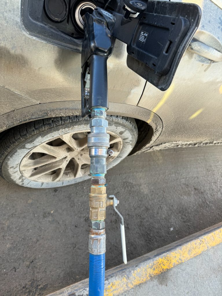
Getting gas at the Brooks Range Supply gas depot. I couldn’t figure out why the gas was not pumping. Kept fooling with the automated payment machines… Then realized there was a quarter-turn shutoff valve on the fuel hose. That was a first for me.
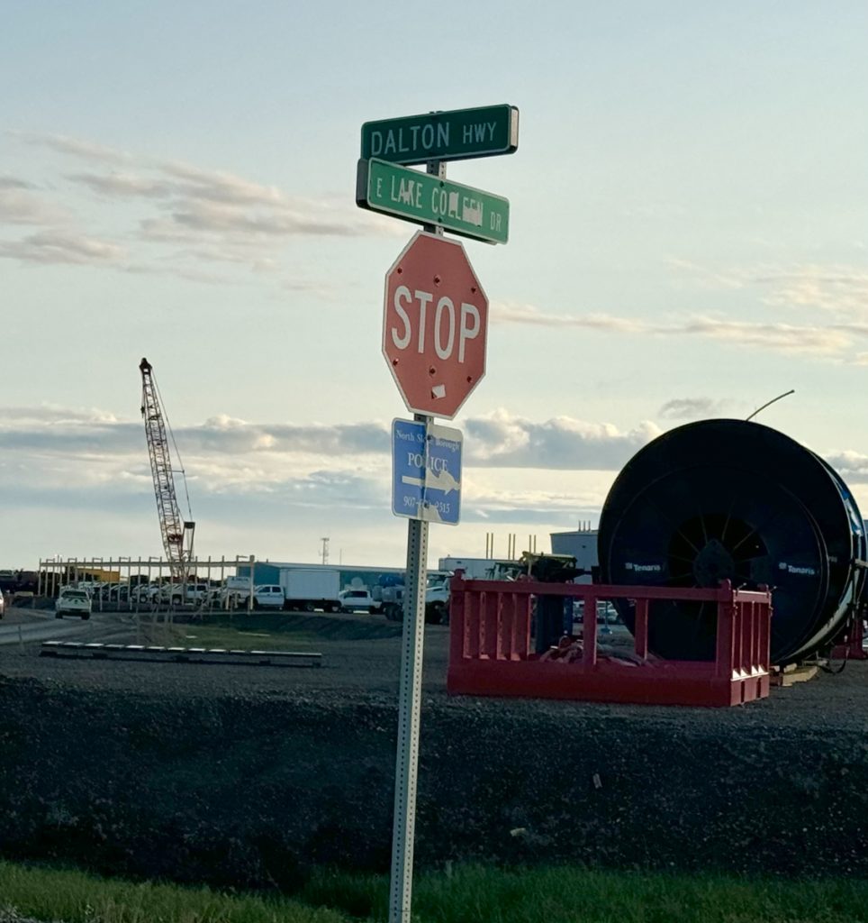
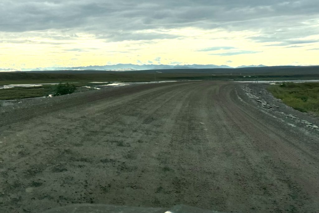
The stop sign that marks the end of the Dalton Highway.
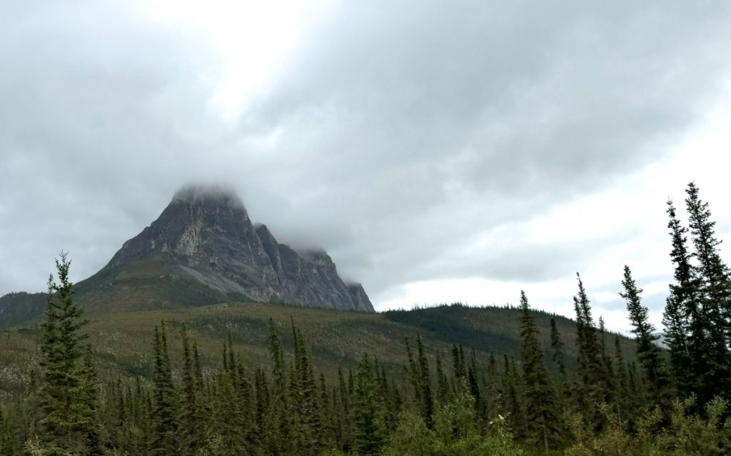
Southbound on the Dalton Highway with the Brooks Range in the distance.
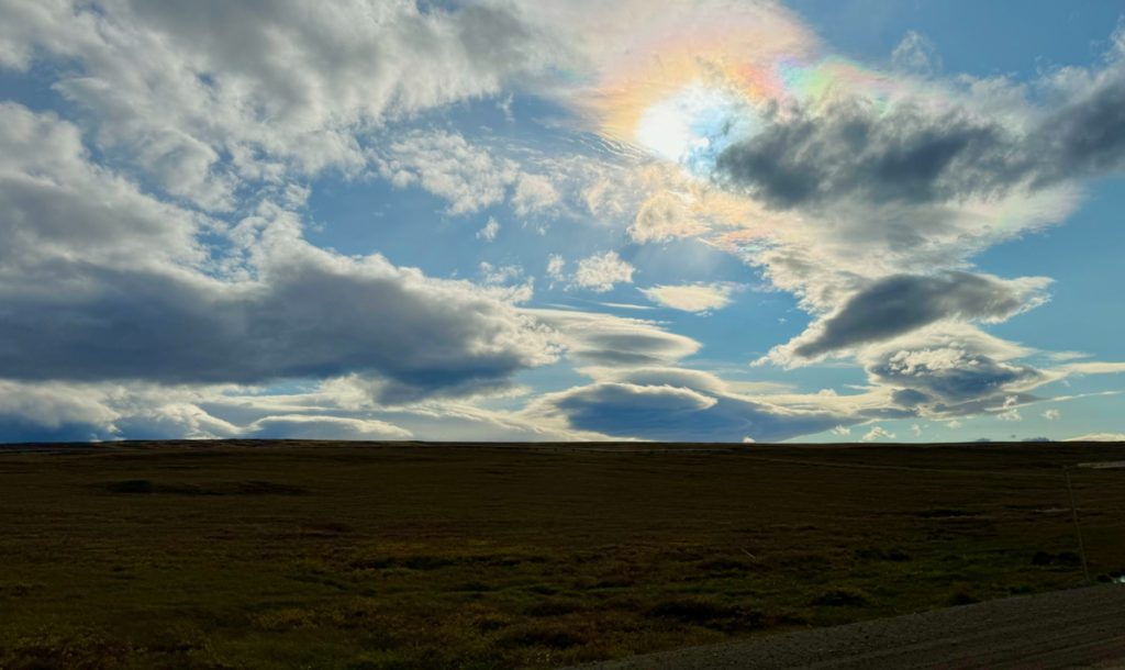
Freaky sky.
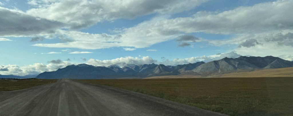
The Brooks Range approaches.
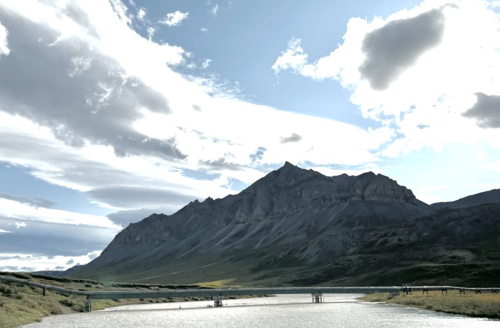
The pipeline crosses a river.
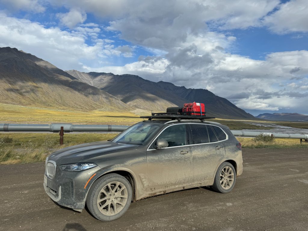
War Bus southbound beside the pipeline.
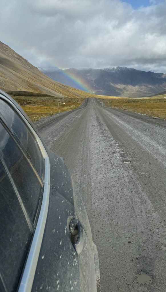
I saw this rainbow in my rear view mirror and had to stop to snap the picture. It might be a warning to return north.
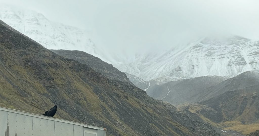
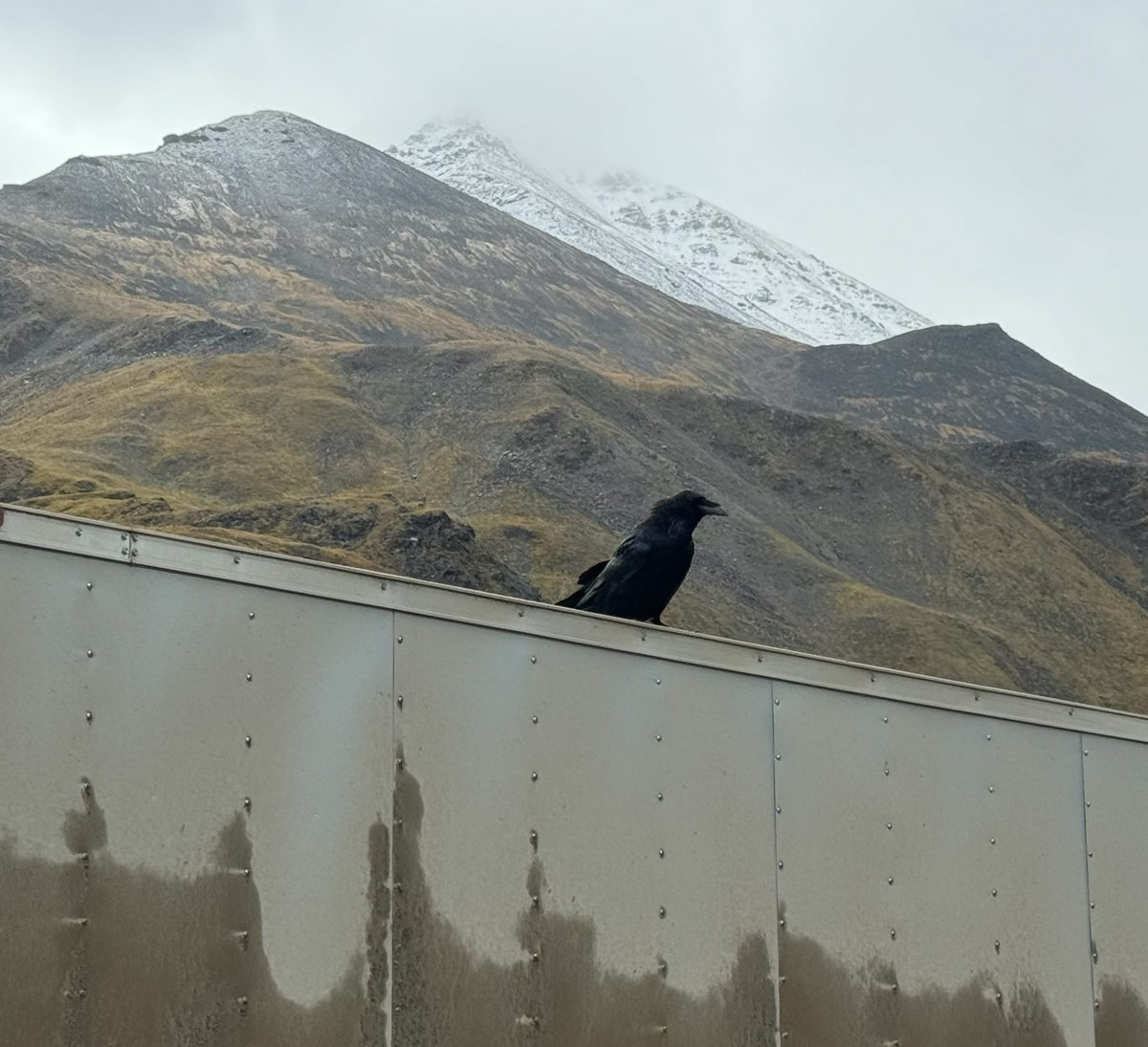
I’ve not made much mention of them in these posts, but ravens have haunted my journey. They would regularly appear around me, follow me on hikes, perch near my car when I would start a drive in the morning. Here, at the foot of the Atigun pass on the north side was a very chatty raven. It really wanted my attention.

A few southbound trucks and I waited for a northbound oversized truck to descend from the summit before beginning our climb. The road is narrow, muddy, and STEEP, so it’s best just to wait. Again, CBs and pilot vehicles, along with patience, caution, and understanding make this work pretty well. This raven squawked at me the whole time…
It turns out it was a warning of sorts. I did a poor job of documenting what came next. On the climb into Atigun Pass I saw a pointy rock sticking out of the muddy gravel road surface. I swerved to miss it, but could not swerve too far without plummeting off the ledge. I felt the rear passenger side tire clip the rock.
At the foot of the pass my air pressure sensor started to sound a warning… I was rapidly losing air.
I now commending myself for the roof rack and full sized spare. Getting the tire changed and safely to Coldfoot became the priority. I wish I had taken photos, but I was preoccupied. The folks in Coldfoot were very helpful and we patched the tire and remounted it to have another spare. But the cut was large and was close to the sidewall.
With the patch in place and the patched tire mounted on the roof, I faced a difficult decision. It was still relatively early in the afternoon. I had a reservation for the night in Coldfoot. But I also didn’t know how many other slow leaks I might have in my tires. The night was forecast to be cold with some snow, and I really didn’t want to wake up with three more flat tires. I would have had to wait for airplanes to ferry them in one or two at a time, and while I liked Coldfoot, I liked it one night in a serving, not two or three. I decided to push on despite Trish’s warnings of road conditions to the south.
When I had left the Arctic shore, my tour guide Jack had asked if I was going back through Coldfoot. When I said yes he asked me to, “Tell Trish that Jack says ‘Hello.'” I did this, much to Trish’s delight. She explained that she and Jack pass messages up and down the highway “the old fashioned way.” Trish took great care of me as “a friend of Jack’s” while I waited for the shop to patch my tire so I would have an emergency spare. When the tire was patched and remounted, I pushed on south for Fairbanks.
The drive south was long, and road conditions were just as bad as Trish said they were.
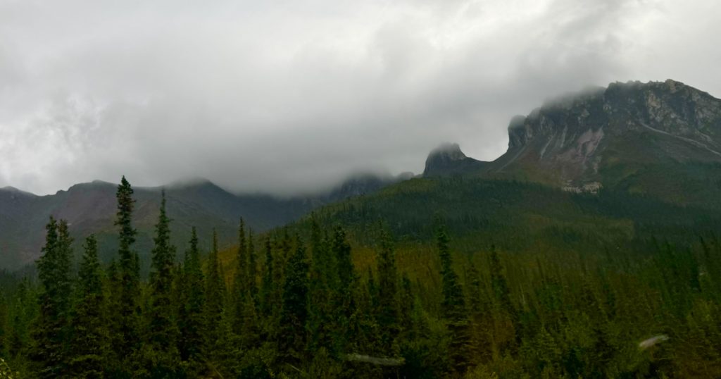
The low clouds continued to obscure many of the most amazing sights.
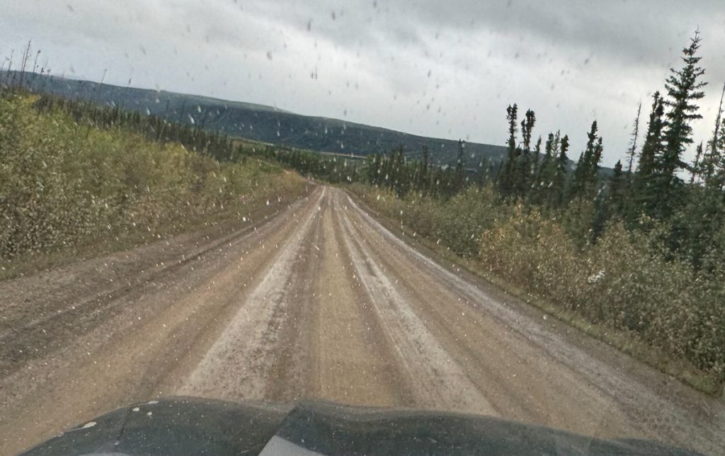
The Dalton Highway is constantly changing. The drive south was unlike the drive north. Areas that had been rough had been regraded, while areas that had seemed fine were now pockmarked with potholes.
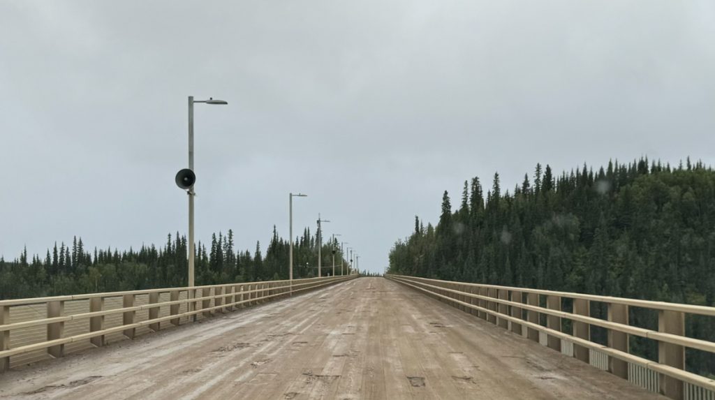
The wooden bridge deck of the E. L. Patton Yukon River Bridge. The Yukon River is 1,980 miles (3,190 km) long and drains an area of Alaska and Yukon Territory that is 25% larger than Texas. There are only four bridges across the river, and three of them are in Canada. Alaska is 750 miles wide (as the raven flies) from where the Yukon enters the Bering Sea to where it crosses the border with Canada. It cuts the state in half west to east. There is only one bridge across this river in Alaska. The 2,295 foot- (700 m) long bridge was built in 1975 at the same time as the pipeline. The bridge carries the road on a wooden deck and it also carries the pipeline!
The other three bridges across the Yukon River are the Yukon River Bridge in Carmacks, Yukon which I will cross in a few days time, and the Lewes Bridge south of Whitehorse, Yukon which I crossed in both directions. The only Yukon River bridge I did not cross was the Robert Campbell Bridge in Whitehorse.
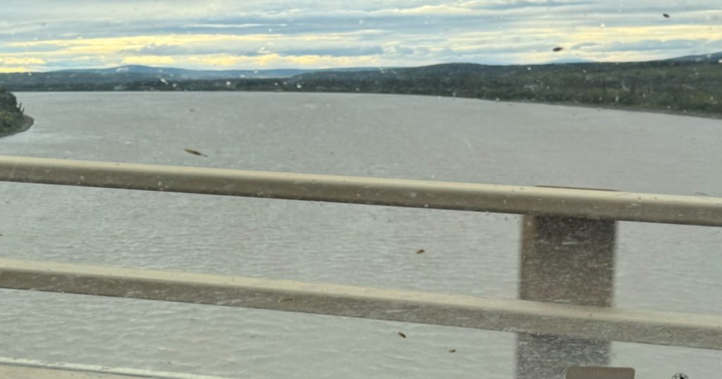
The Yukon is a big river.
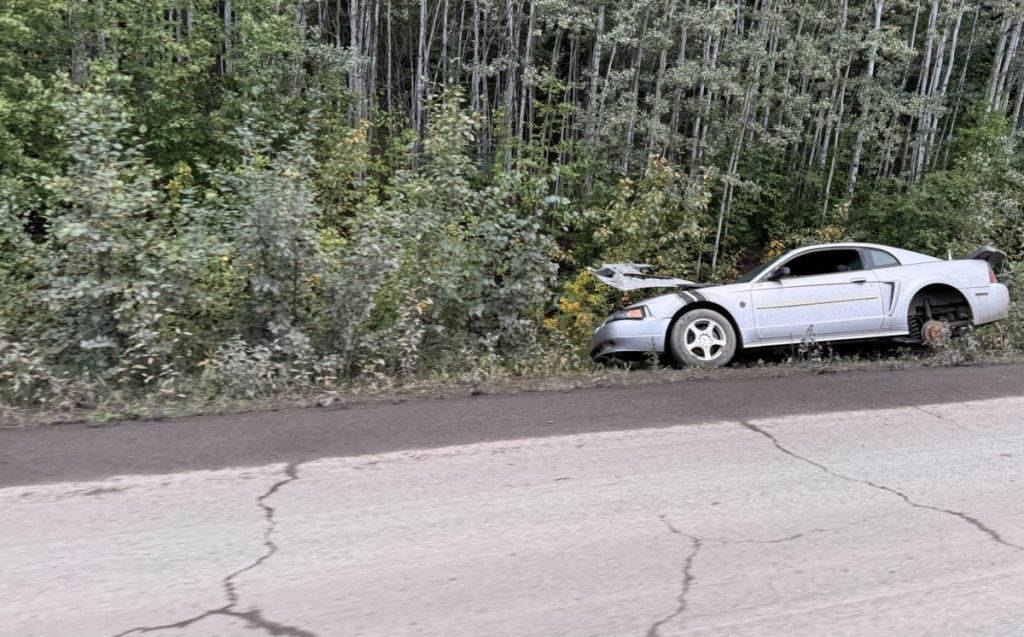
The fate of abandoned cars in remote areas.
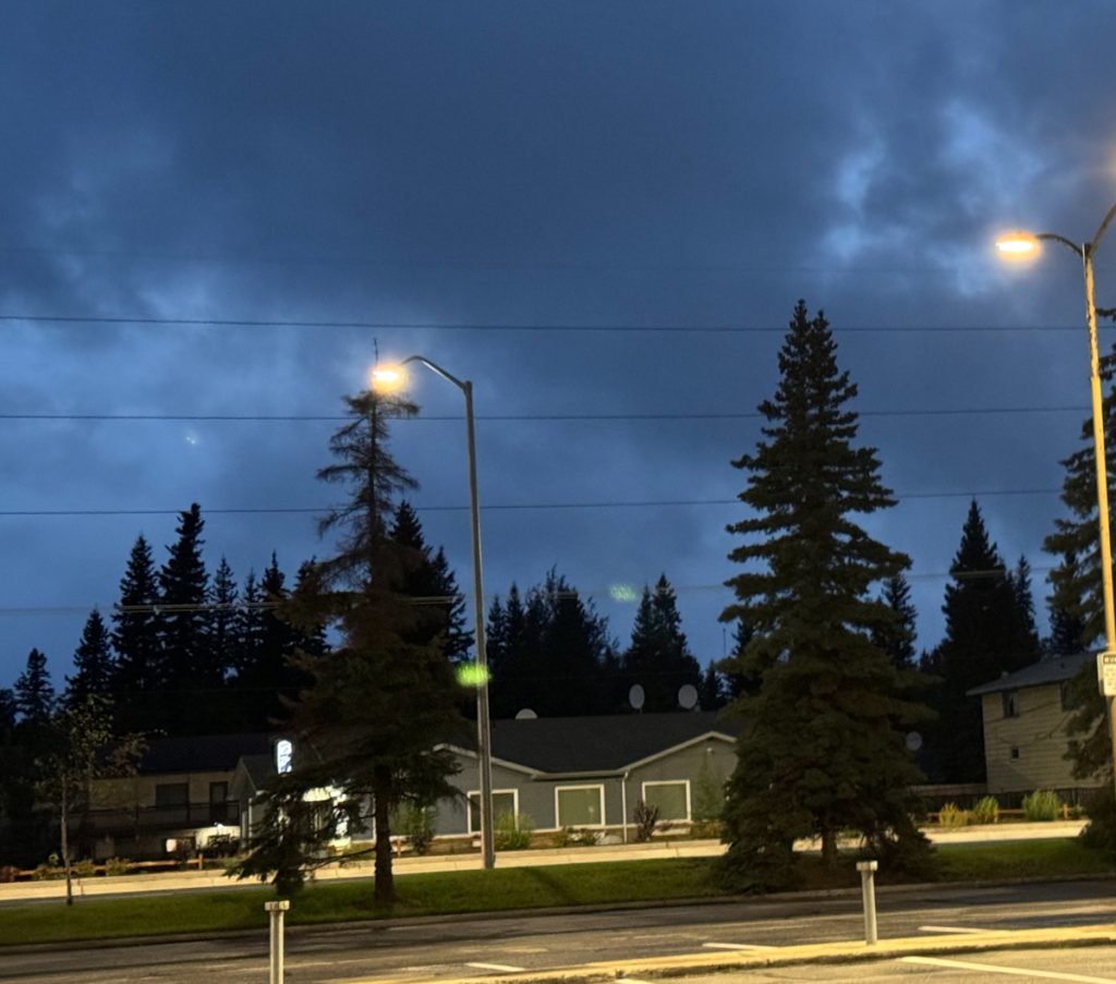
It was about 2130 hrs when I finally reached Fairbanks. The sky was still light above the clouds. This was one of the more exhausting days so far. But being over-prepared made this work out OK.
A Viking’s Walkabout: | Prologue | Day 01 Calif. to Az. | Day 02 Az. to N.M. | Day 03 N.M. to Colo. | Day 04 Colo. | Day 05 Colo., Kan., Neb. | Day 06 Part 1 Neb. | Day 6 Part 2 Neb. to S.D. | Day 07 S.D., Wy., Mont. | Day 08 Mont. to Alta. | Day 09 Alta. (Banff) | Day 10 Alta. (Grande Cache) | Day 11 Alta. to B.C. | Day 12 B.C. to Yukon | Day 13 Yukon | Day 14 Yukon to Alaska | Day 15 Alaska (Coldfoot) | Day 16 Part 1 Alaska (Atigun Pass) | Day 16 Part 2 Alaska (Deadhorse) | Day 17 Alaska (Prudhoe Bay) | Day 18 Alaska (Fairbanks) | Day 19 Alaska (Anchorage) | Day 20 Alaska (Anchorage) | Day 21 Alaska (Tok) | Day 22 Alaska to Yukon | Day 23 Yukon | Day 24 Yukon to B.C. | Day 25 B.C. (Prince Rupert) | Day 26 B.C. (Prince George) | Day 27 B.C. (Vancouver) | Day 28 B.C. to Wash. | Day 29 Wash. to Or. | Day 30 Or. | Day 31 Or. to Calif. | Day 32 Calif. |