Coldfoot to Deadhorse, Alaska (…way to sell the names, folks…)
Distance: 242 miles / 389 km
Time: ~6 hours
What do you do when you get close to the finale of a great show? Start making double episodes! Here is Part 1 of Day 16…
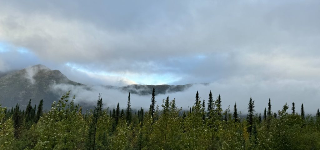
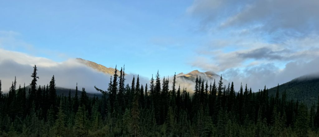
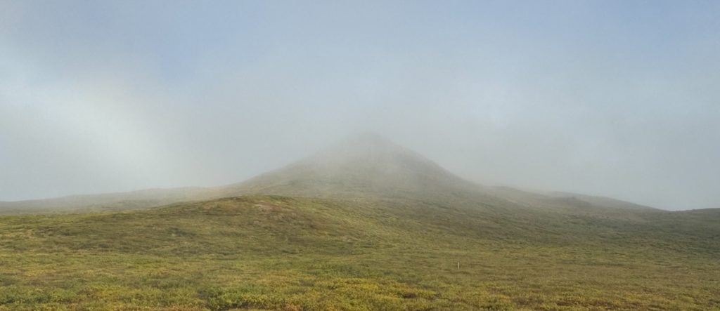
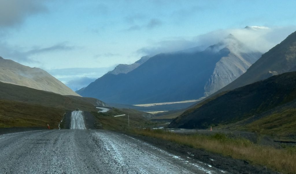
Mountains north of Coldfoot, shrouded in cloud, fog, but no rain… yet.
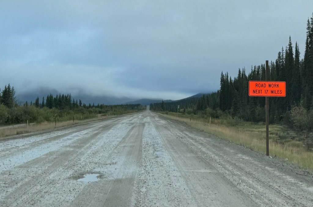
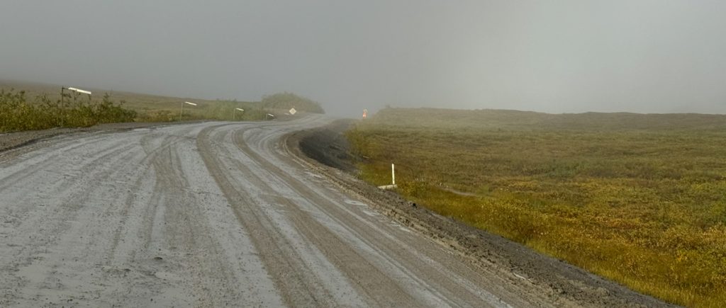
Blessedly paved without craters for a little while.
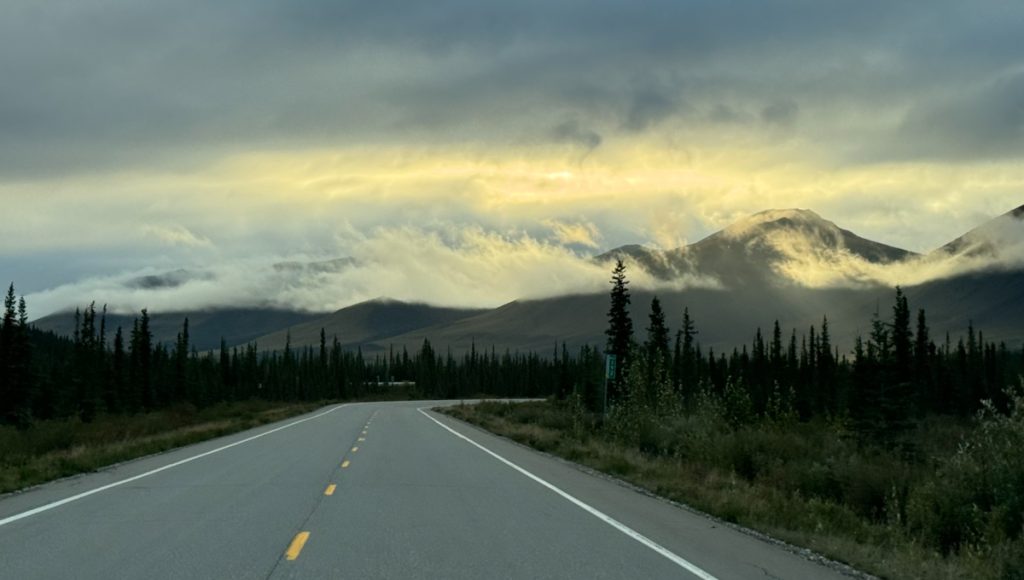
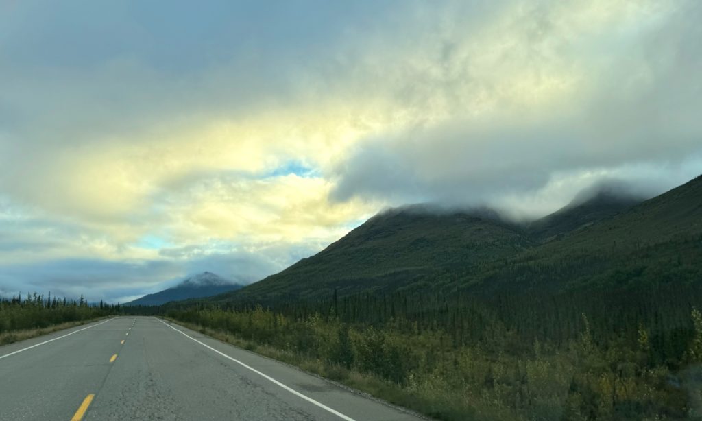
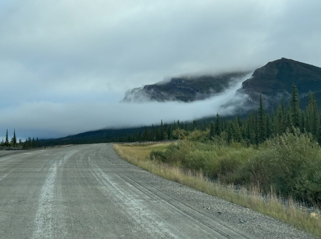
Threats of sunshine.
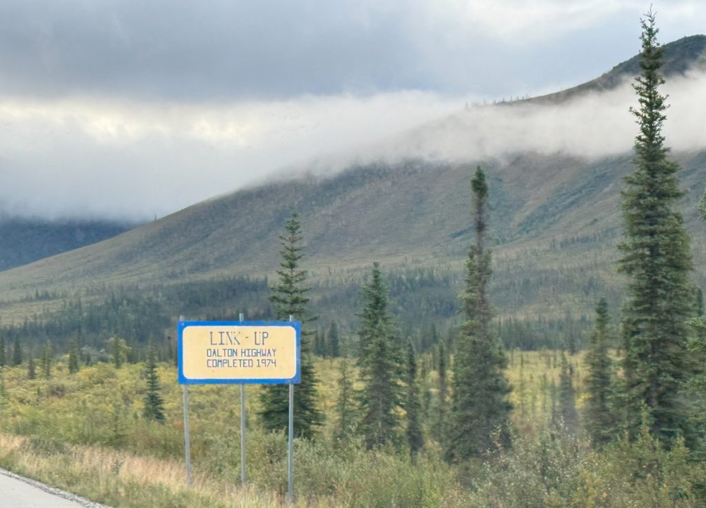
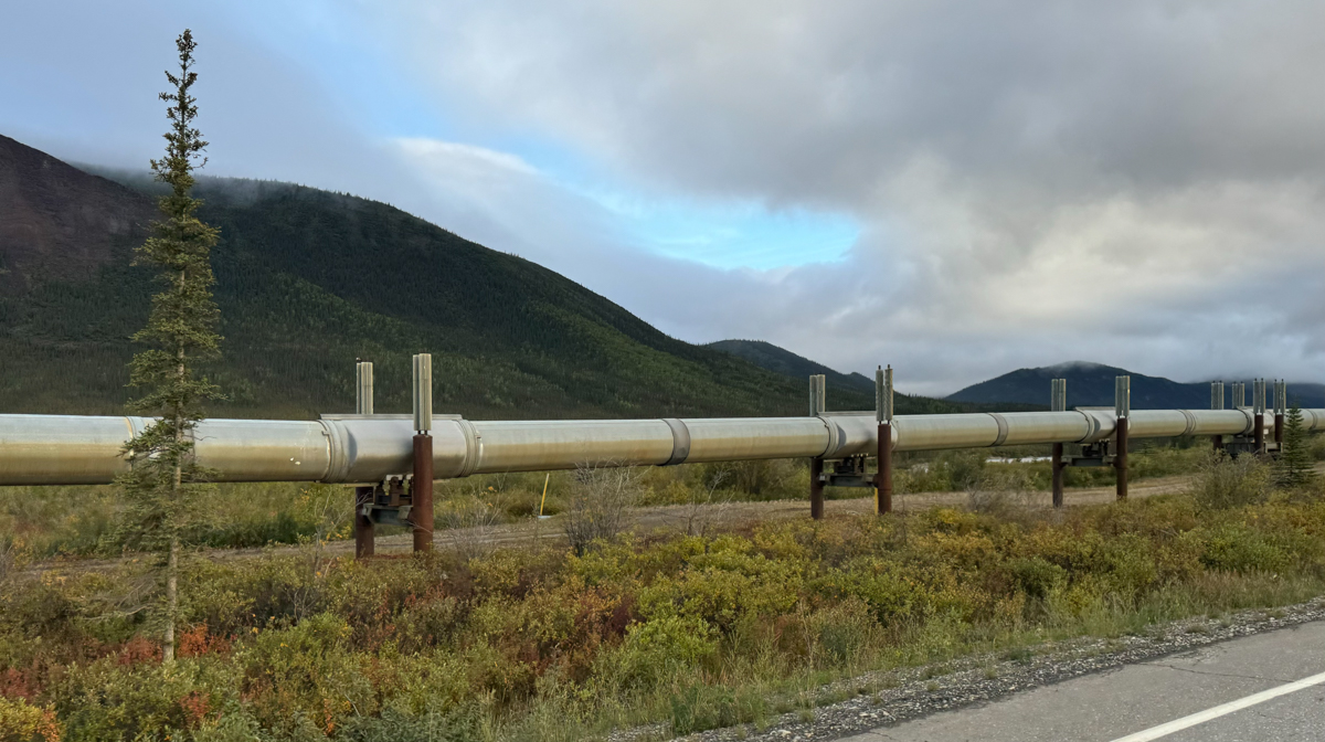
Crews working south from Prudhoe using supplies barged around Alaska through the Chukchi and Beaufort Seas met crews working north from Fairbanks at this point, “Link-Up.” Another historical marker in the restaurant at Coldfoot Camp said that the “final connection” was made Sept. 29, 1974. If that “final connection” and “Link-Up” are the same, that means I’m driving the Dalton Highway 50 years and 18 days after it was completed. That’s kinda wild. The 50th anniversary of the Dalton Highway was 3 days before I started driving.
I recall issues of Popular Mechanics when I was a kid, still going on and on about how cool the pipeline was and what an accomplishment it was. I can remember my grandfathers being impressed by it. I knew it was important from a young age. I’m glad I get to see it in person.

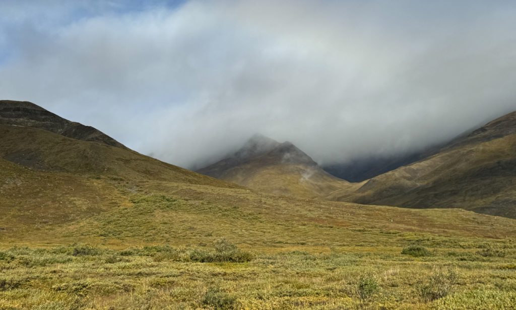
One of the most talked about landmarks on the road is Sukakpak. I can kinda imagine what it looks like, but the cloud deck was very low and took away some of the grandeur.
.jpg)
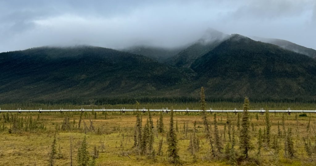
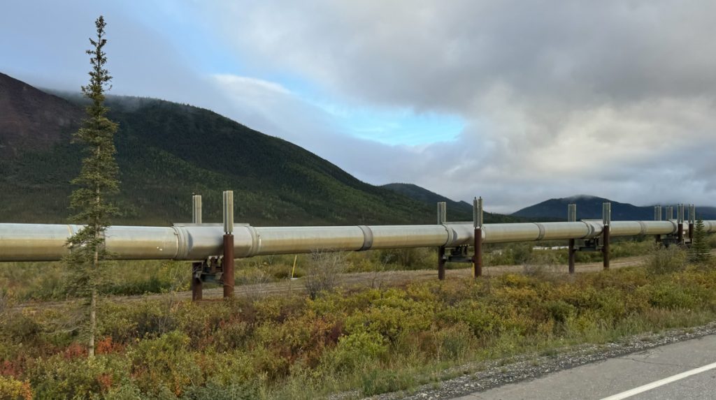
Pipeline…
Weird descending air mass…
The irony of that hole, the gravel, and that sign did not escape me. From here, a long muddy slog of a climb brings the traveler up to the Chandalar Shelf a high wet spot past the Last Tree.
And now I’m in the higher elevation tundra.
Muddy road and the drop back down before the climb to the Atigun Pass begins
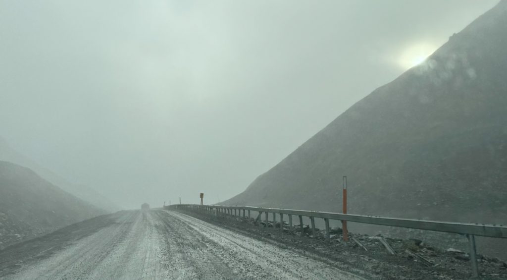
And then the rains came. There’s a haul truck ahead of me and he’s gotta keep moving in this mud. So I’m putzing along behind him trying not to get close. The clouds are pushed up against the south side of the Brooks Range summits and it’s raining, but you can see the sun through the clouds.
The square sign on the second post numbers the “Slide Path.” You can see under the guardrail where a rock slide or avalanche has swept away the posts.
The Atigun Pass is the highest road kept open year-round in Alaska. It is where I cross the continental divide. All of this rain is flowing to the Pacific Ocean. Just over that hill everything flows to the Arctic. This is the only pass with a road in the 700-mile length of the Brooks Range.
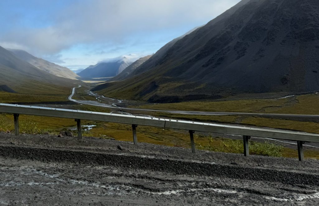
Coming down the north side of the Atigun Pass, the rain has blessedly ceased, and the road proceeds north from here.
Descending from the summit.
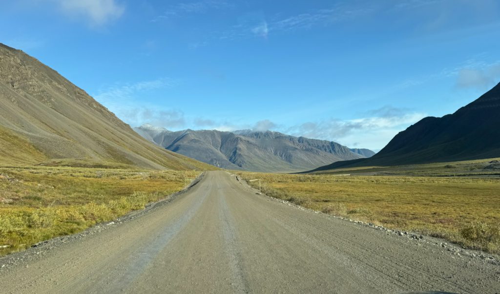
The (finally) treeless tundra.
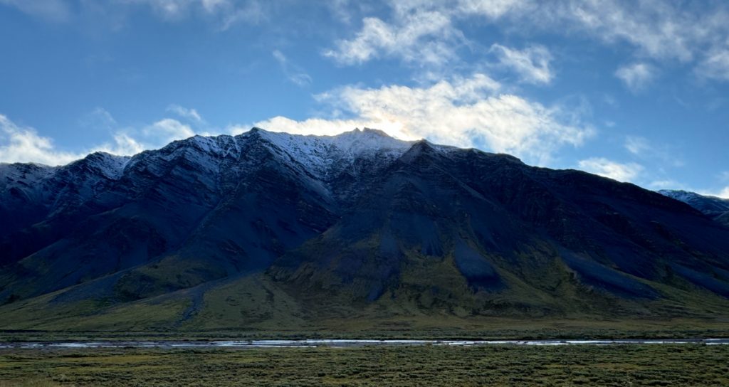
It snowed up here two nights ago.
The road to Prudhoe… see Part 2.
A Viking’s Walkabout: | Prologue | Day 01 Calif. to Az. | Day 02 Az. to N.M. | Day 03 N.M. to Colo. | Day 04 Colo. | Day 05 Colo., Kan., Neb. | Day 06 Part 1 Neb. | Day 6 Part 2 Neb. to S.D. | Day 07 S.D., Wy., Mont. | Day 08 Mont. to Alta. | Day 09 Alta. (Banff) | Day 10 Alta. (Grande Cache) | Day 11 Alta. to B.C. | Day 12 B.C. to Yukon | Day 13 Yukon | Day 14 Yukon to Alaska | Day 15 Alaska (Coldfoot) | Day 16 Part 1 Alaska (Atigun Pass) | Day 16 Part 2 Alaska (Deadhorse) | Day 17 Alaska (Prudhoe Bay) | Day 18 Alaska (Fairbanks) | Day 19 Alaska (Anchorage) | Day 20 Alaska (Anchorage) | Day 21 Alaska (Tok) | Day 22 Alaska to Yukon | Day 23 Yukon | Day 24 Yukon to B.C. | Day 25 B.C. (Prince Rupert) | Day 26 B.C. (Prince George) | Day 27 B.C. (Vancouver) | Day 28 B.C. to Wash. | Day 29 Wash. to Or. | Day 30 Or. | Day 31 Or. to Calif. | Day 32 Calif. |