
Whitehorse, Yukon to Fairbanks, Alaska
Distance: 589 miles / 948 km
Time: ~11h30m (a little long…)
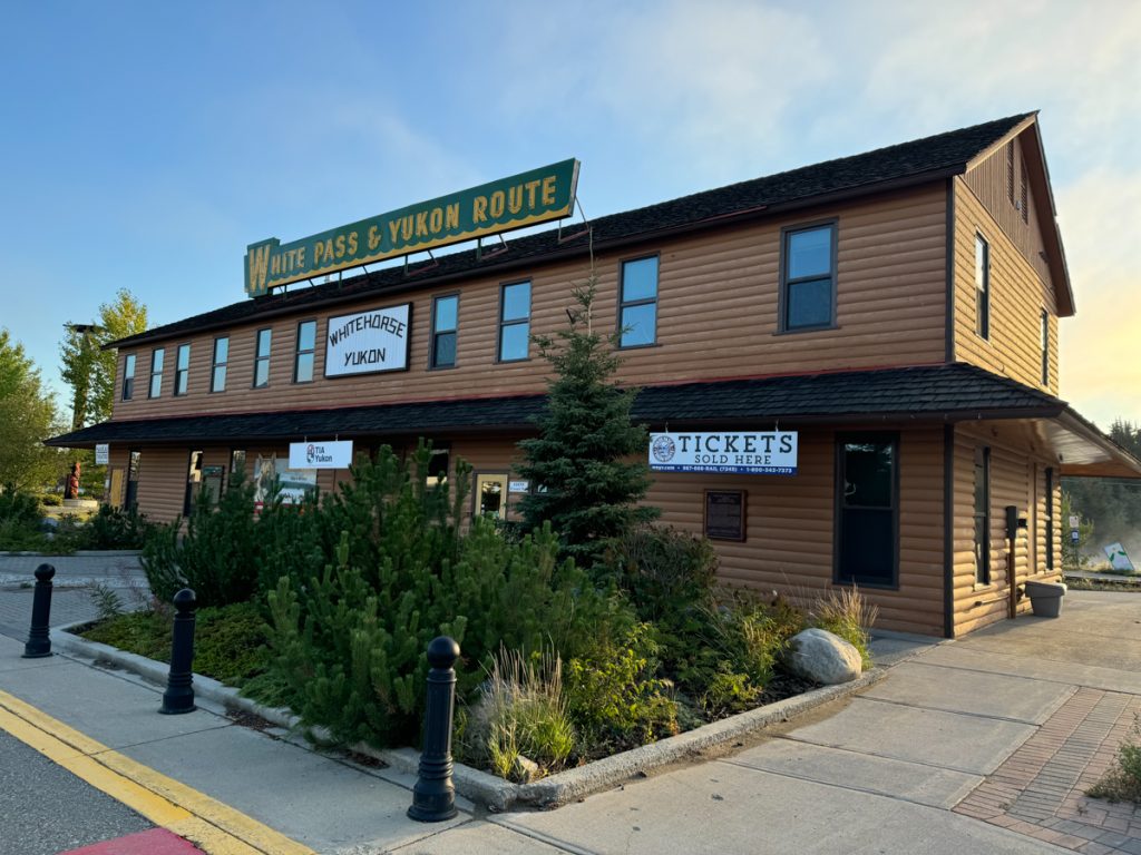
The former depot for the White Pass & Yukon Route, a Gold Rush era narrow gauge railroad built to connect the U.S. coast in Alaska to the Klondike. Wiki. The line is an engineering marvel and a short line railroad.
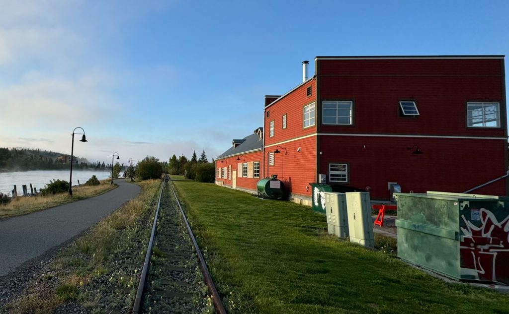
The Yukon River in Whitehorse behind the depot. The river is fast, broad, and looks deep here. It flows more than a thousand more miles from here to the Bearing Sea.
Healing Totem Pole, downtown Whitehorse.
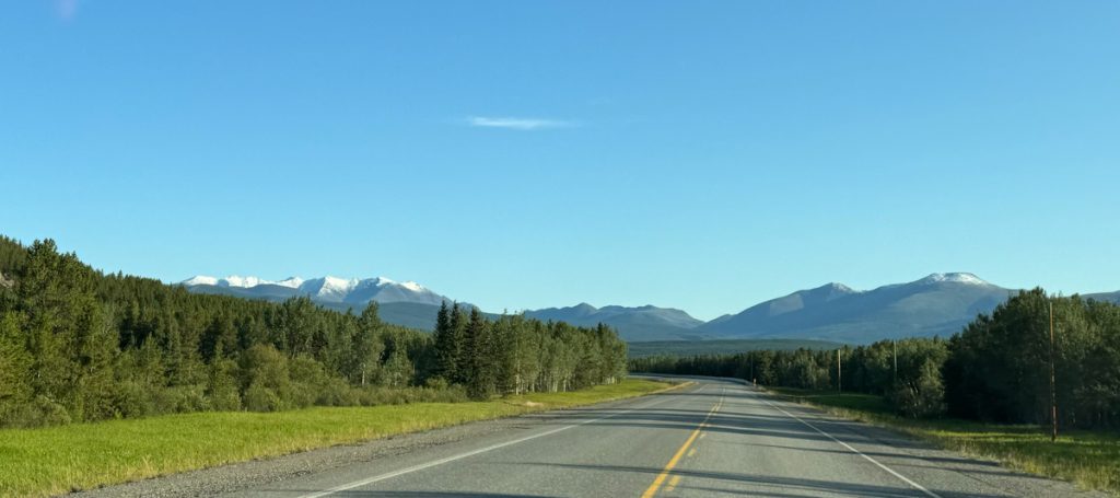
Back on the Alaska Highway.
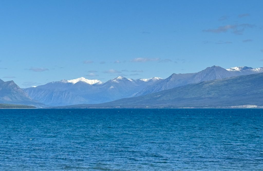
Destruction Bay. I took two conference calls via Starlink from the shores of the lake. There were whitecaps on the water. Later in Alaska, I met a guy who claimed to have surfed it. Cool story but still skeptical.
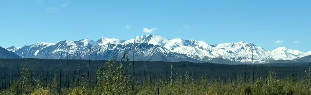
Tall, snow-capped mountains south and west of the Alaska Highway.
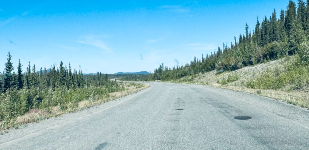
The road surface on the Alaska Highway starts to degrade past Whitehorse. The road conditions get bad as you approach the Alaska border.
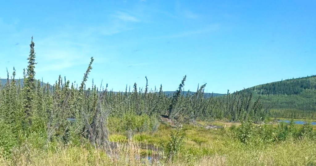
Drunken Trees. Trees tilt as the permafrost thaws under them as temperatures increase.
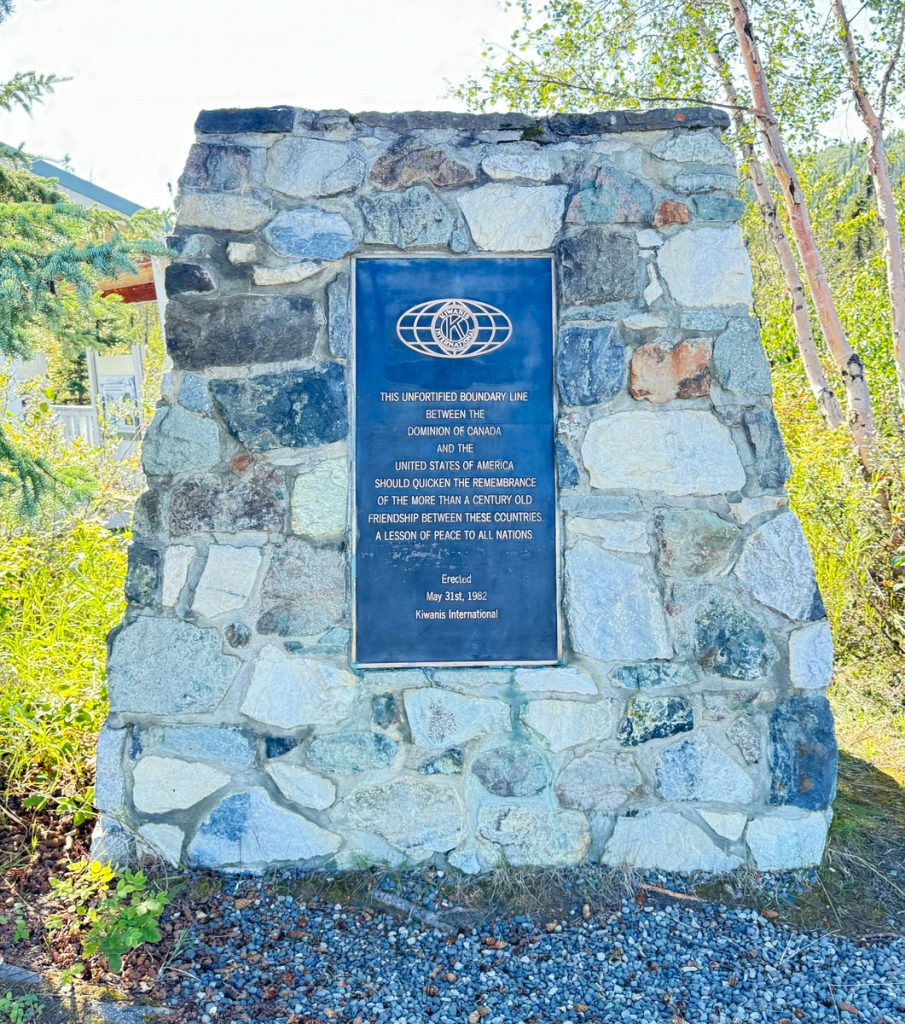
Second Kiwanis border monument I have encountered. The fact that the entire border is “unfortified” is fascinating.
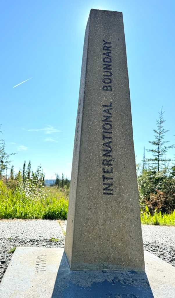
These boundary markers occur at regular intervals.
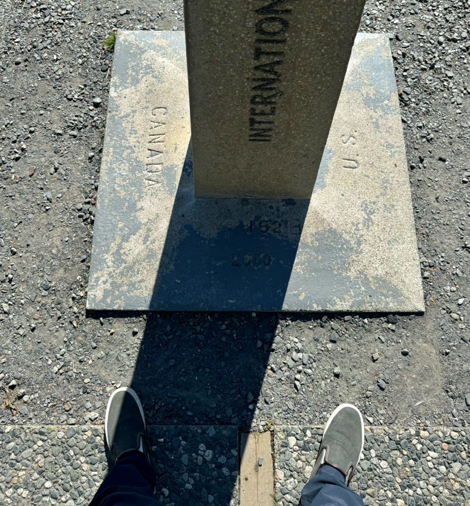
A foot in each camp…
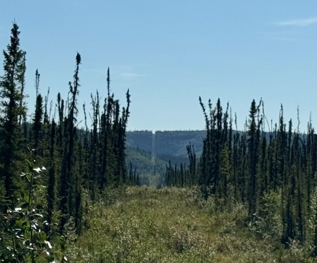
The border is kept clear of trees along its whole length. Here, looking west.
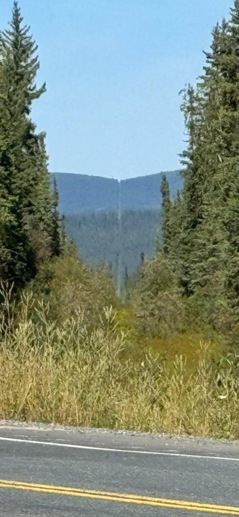
And the boarder corridor cut through the forest looking east.
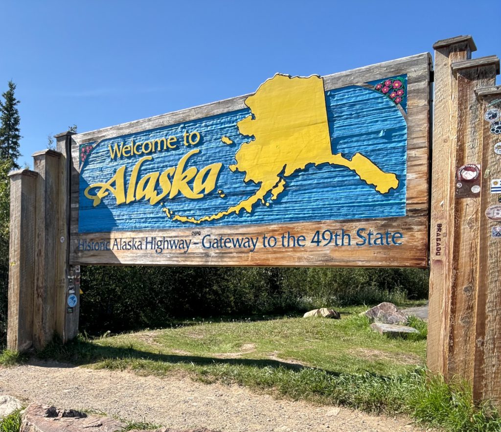
Back in the USA! Once you cross from Canada to the US, the road quality immediately improves. We put our best macadam face forward at the border.
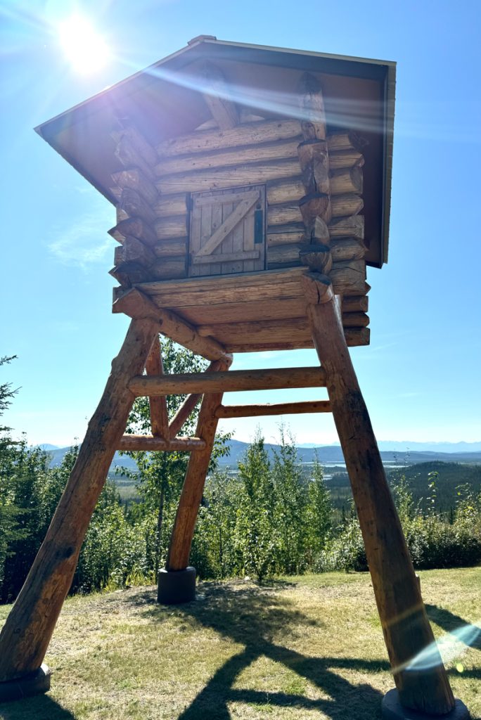
A replica cache where supplies would be stored in frontier days.
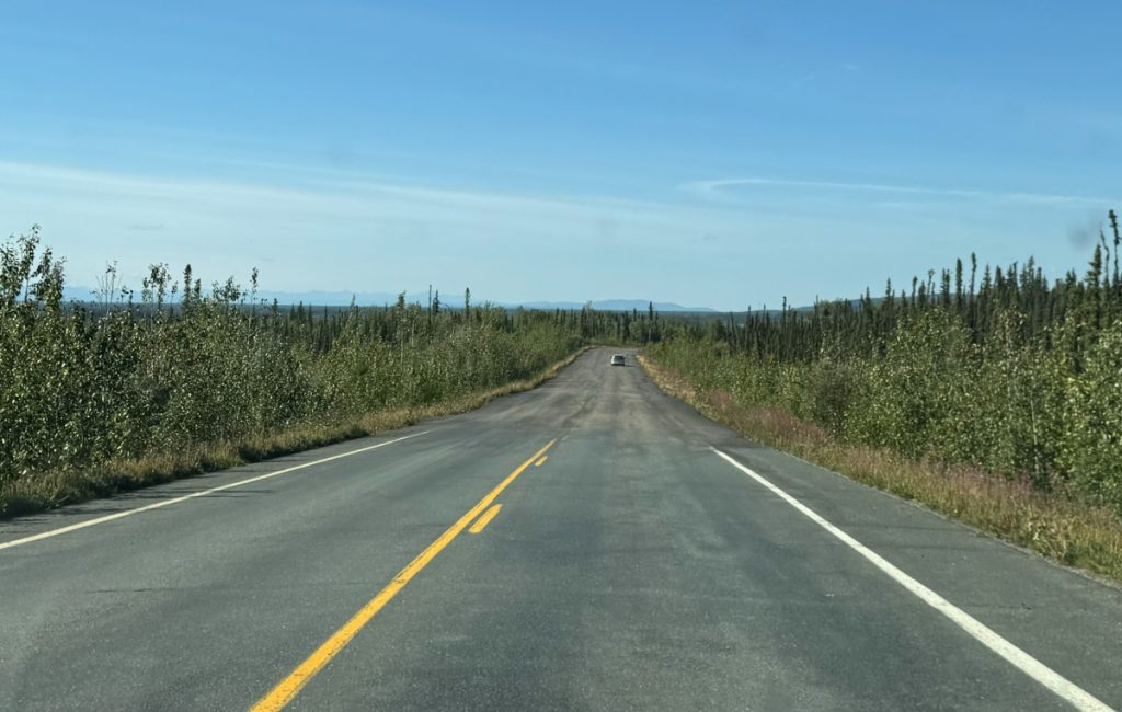
But a few miles past the border, and the road goes back to rough and pothole filled.
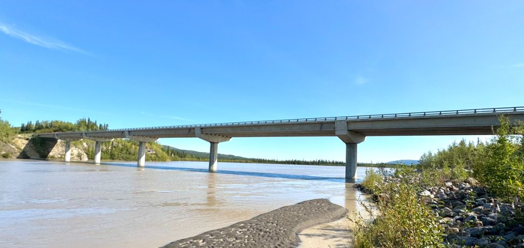
Tanana River Bridge east of Tok, Alaska. I should have spent the night in Tok, but I was tired of trees and ready to start the real challenge, so I pushed on to Fairbanks.
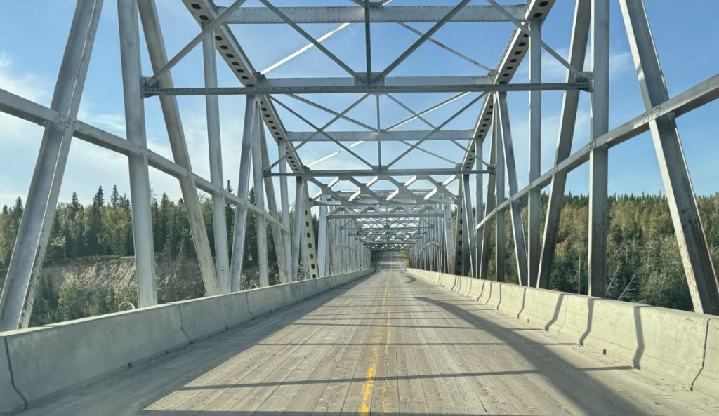
Timber decked bridge over a broad but shallow tributary of the Tanana River.
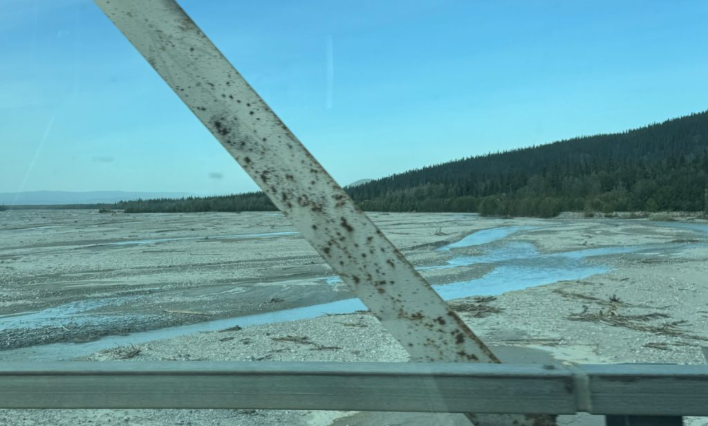
These small rivers had broad floodplains full of small stones. These drain the runoff from glaciers south of Highway 2 between Delta Junction and Tok.
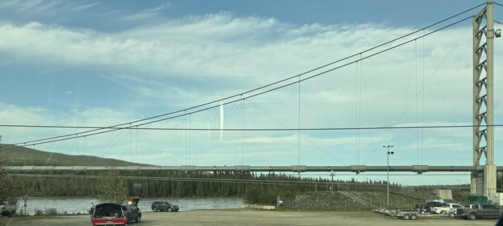
My first glace of the Trans-Alaska Pipeline on a suspension pipe bridge south of Fairbanks.
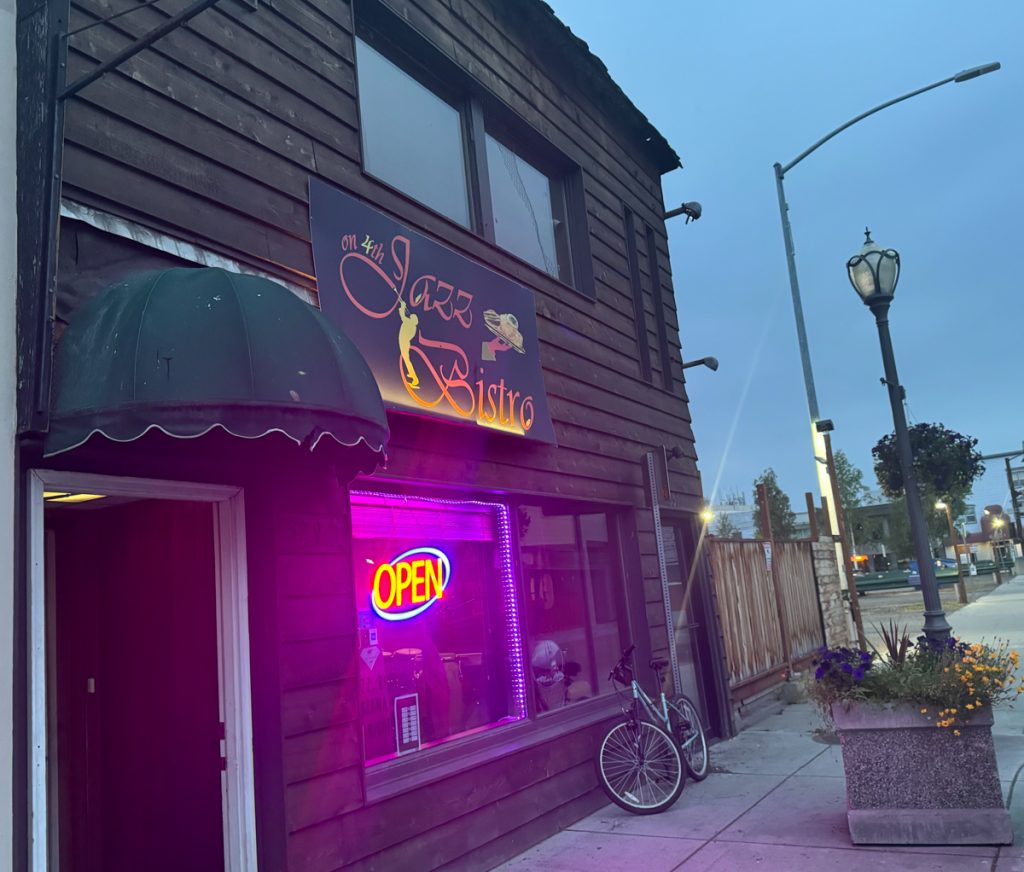
My second Guy Fieri-featured restaurant — Jazz Bistro on 4th — this one from Diners, Drive-Ins and Dives. The Salmon Cuban Style was fantastic! I also got to talk at length with Executive Chef Rico Zavaleta and he had lots of good advice for my son Zeke’s future food truck.
A Viking’s Walkabout: | Prologue | Day 01 Calif. to Az. | Day 02 Az. to N.M. | Day 03 N.M. to Colo. | Day 04 Colo. | Day 05 Colo., Kan., Neb. | Day 06 Part 1 Neb. | Day 6 Part 2 Neb. to S.D. | Day 07 S.D., Wy., Mont. | Day 08 Mont. to Alta. | Day 09 Alta. (Banff) | Day 10 Alta. (Grande Cache) | Day 11 Alta. to B.C. | Day 12 B.C. to Yukon | Day 13 Yukon | Day 14 Yukon to Alaska | Day 15 Alaska (Coldfoot) | Day 16 Part 1 Alaska (Atigun Pass) | Day 16 Part 2 Alaska (Deadhorse) | Day 17 Alaska (Prudhoe Bay) | Day 18 Alaska (Fairbanks) | Day 19 Alaska (Anchorage) | Day 20 Alaska (Anchorage) | Day 21 Alaska (Tok) | Day 22 Alaska to Yukon | Day 23 Yukon | Day 24 Yukon to B.C. | Day 25 B.C. (Prince Rupert) | Day 26 B.C. (Prince George) | Day 27 B.C. (Vancouver) | Day 28 B.C. to Wash. | Day 29 Wash. to Or. | Day 30 Or. | Day 31 Or. to Calif. | Day 32 Calif. |