
Part 1: North Platte, Neb. to Carhenge near Alliance, Neb. via Scotts Bluff and Chimney Rock, Neb.
Distance (Part 1 of Day 6): 244 miles / 393 km
Time (Part 1 of Day 6): ~4h45m
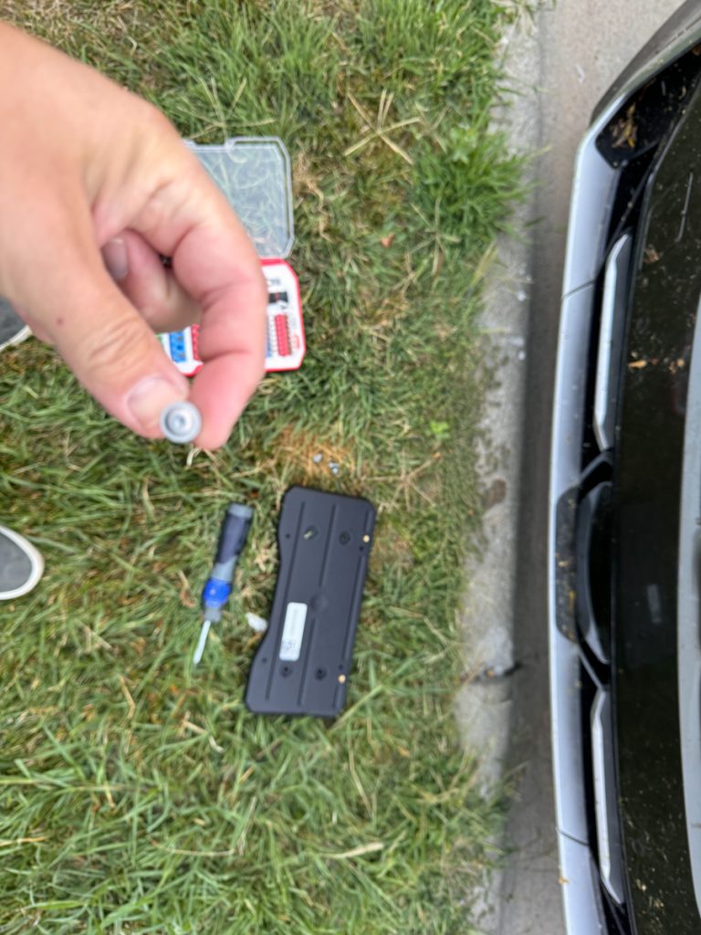
Kristi joined me in Denver and brought the license plates for War Bus with her. Yes. War Bus is so new it still has temporary tags. Here I’m installing the tags in the hotel parking lot. Note grasshopper splatter on War Bus.
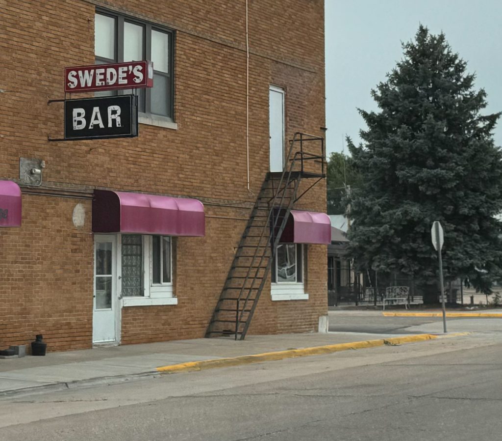
Swede’s Bar, Paxton, Neb. Had it been evening I would have stopped. Sounds like my kind of place.
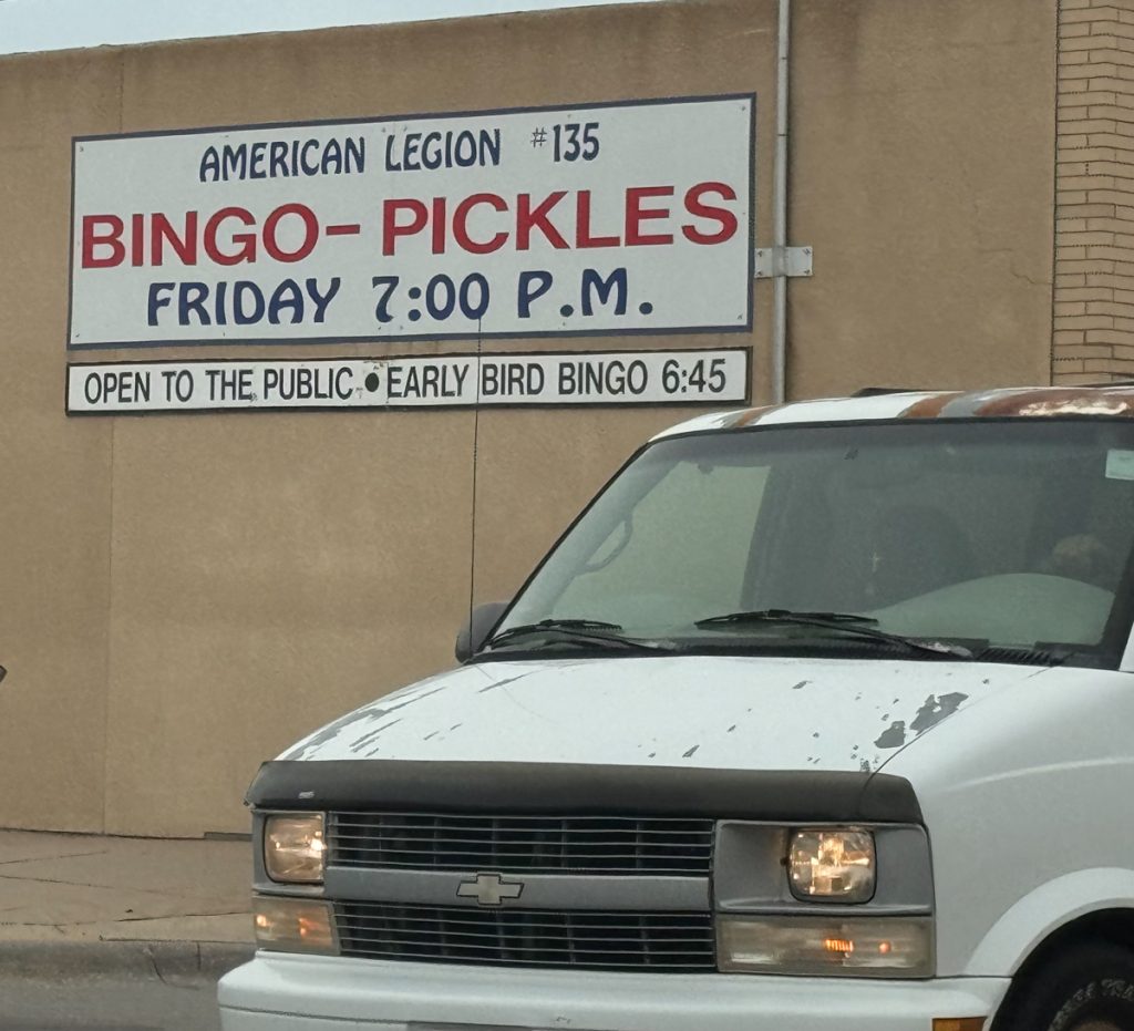
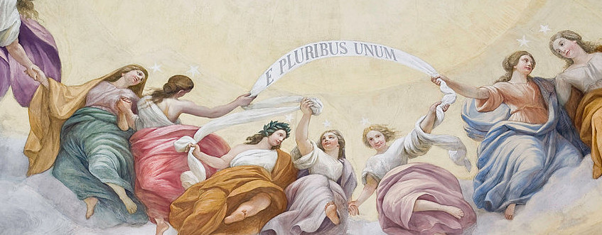
These two naturally go together…
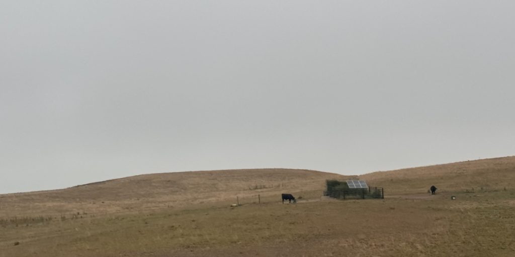
The Plains near Brule, Neb.
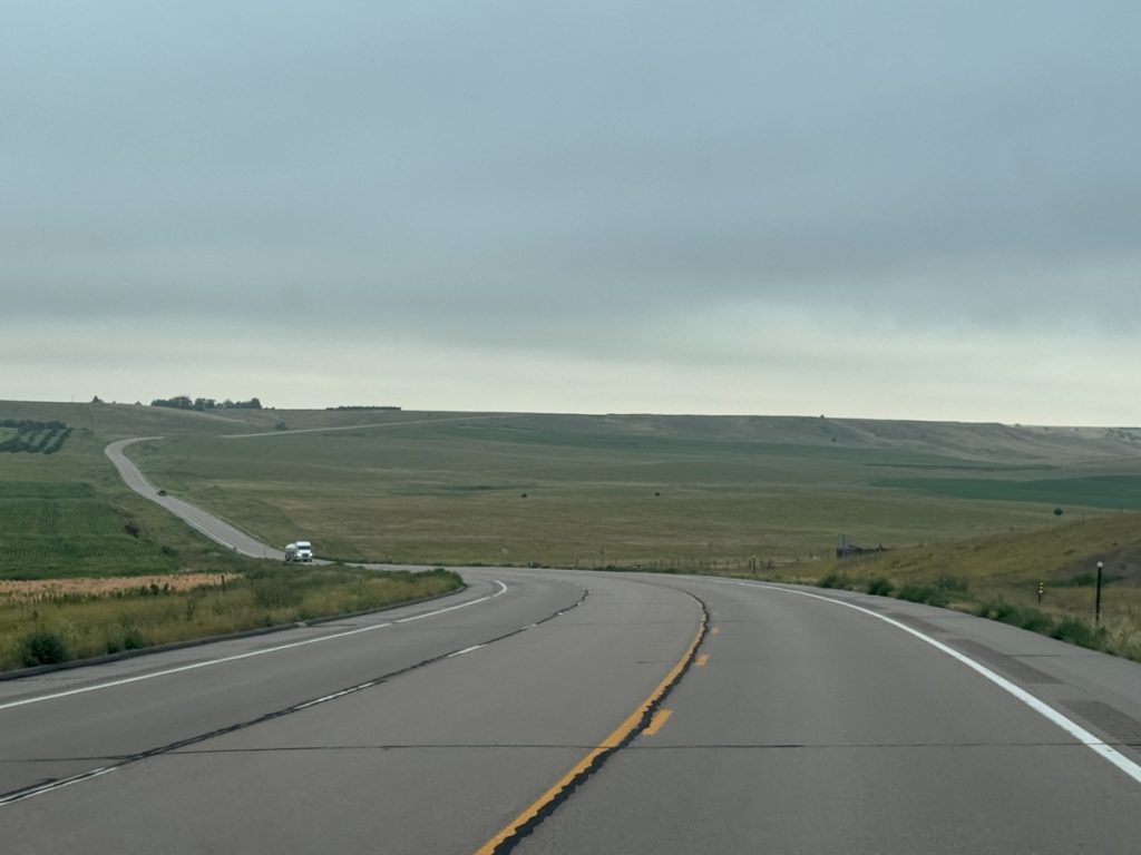
The Road on US-26 just south of Lake McConaughy… Alright, Alright, Alright!
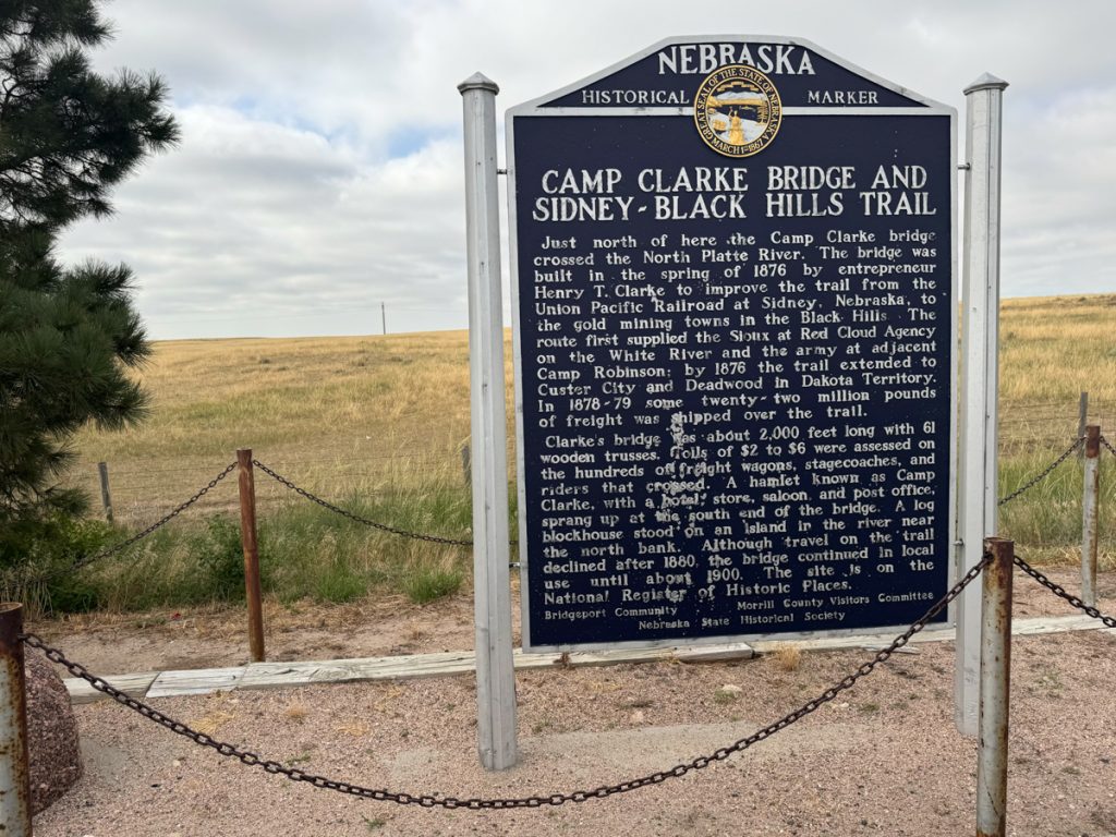
A $6 toll bridge in 1876 was big money. Roads and bridges were once privately constructed as businesses based on tolls…
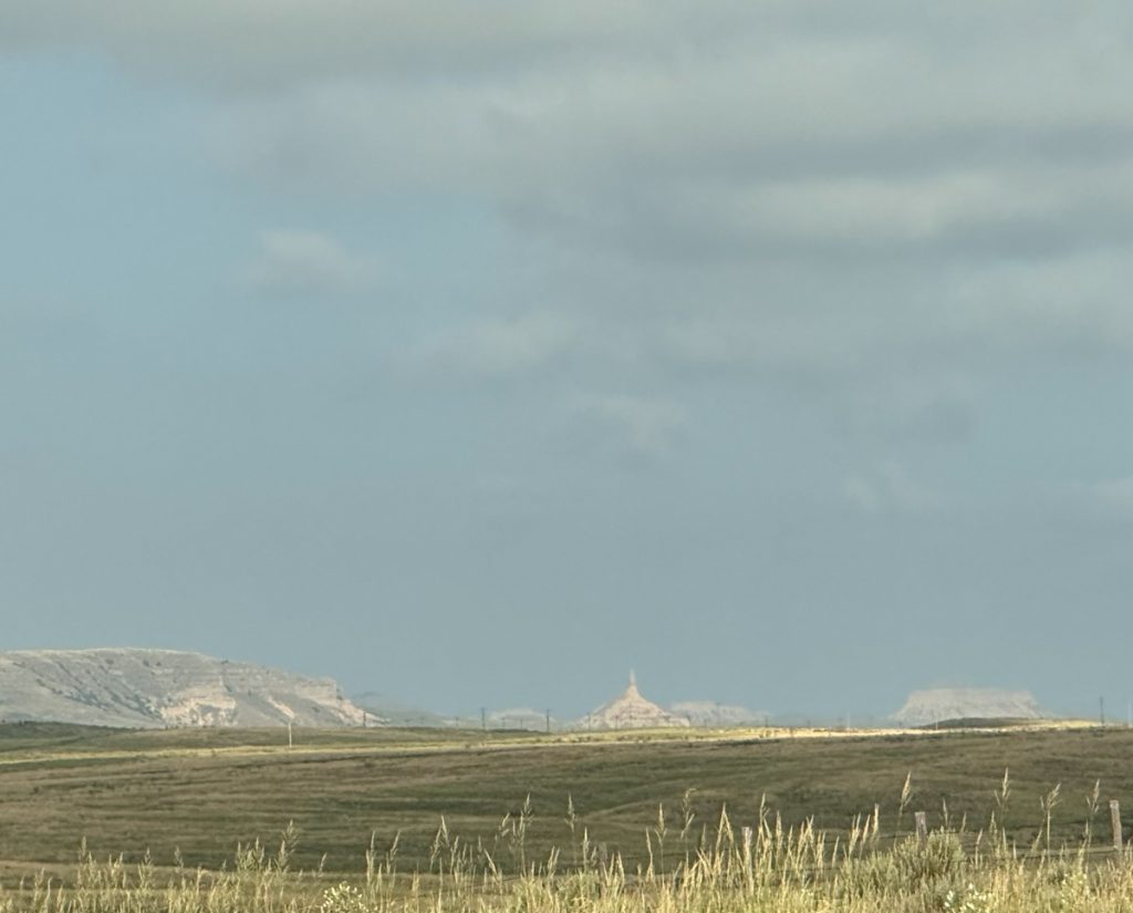
First sight of Chimney Rock in the distance. Chimney Rock was frequently cited in pioneer journals as a landmark. It is constantly eroding and is only about 2/3 the height it was when pioneers first passed it. It is still impressive.
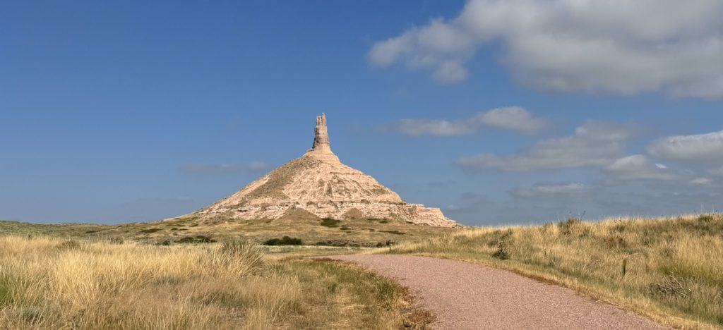
Chimney Rock
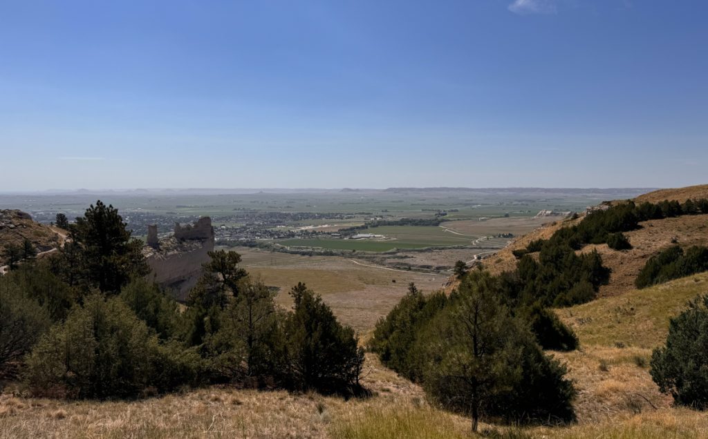
The top of Scotts Bluff. Chimney Rock is just visible on the horizon at the far left of the image along with many other bluffs.
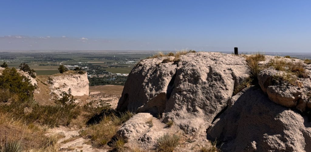
That post was driven flush with the high point of Scotts Bluff. The light stones are constantly eroding and the height of the post shows erosion in the past decades.
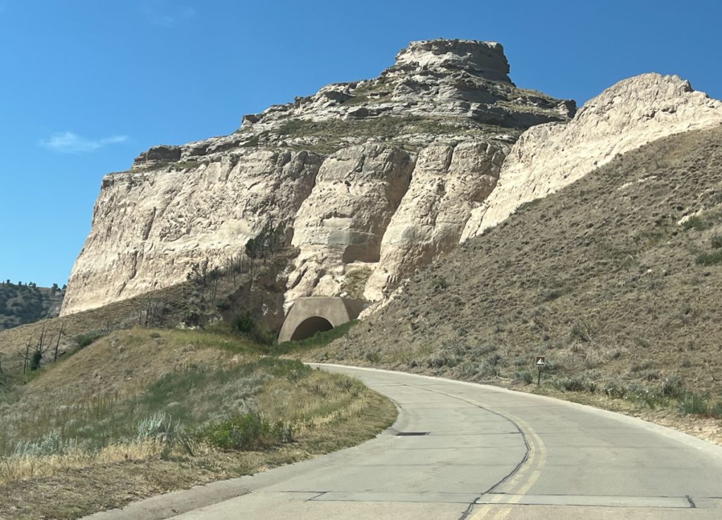
The road up to the top of Scotts Bluff – the WPA liked to just blast roads through things that would never clear NEPA review these days. We’ll see more of that in Part 2 of Day 6.
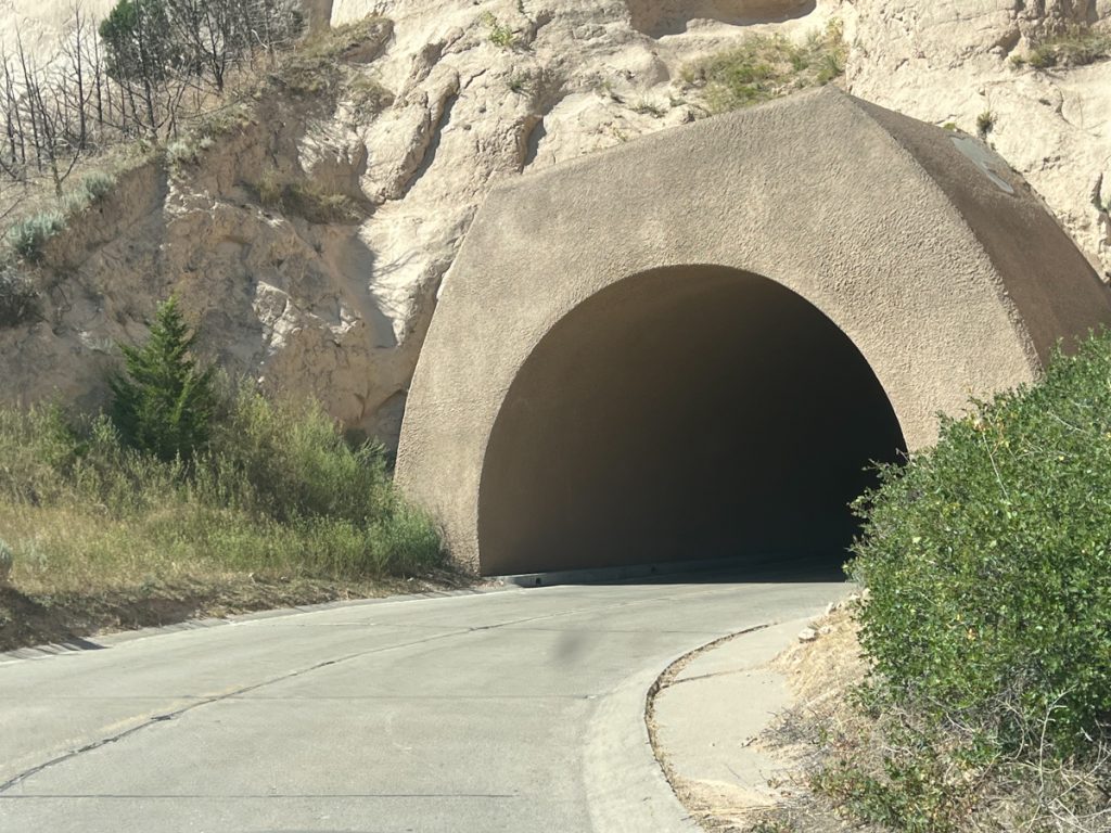
More tunnels in Scotts Bluff that could never be permitted today.
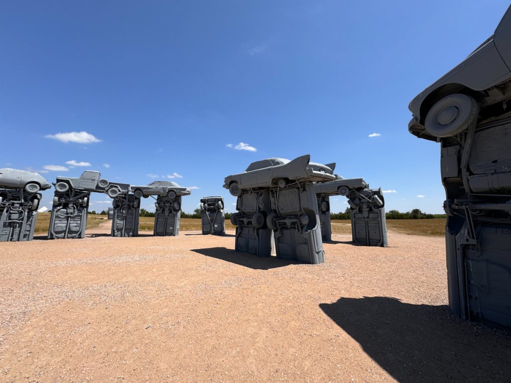
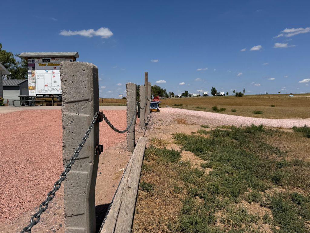
I noticed that the chains marking the boundary of the parking lot at Carhenge are made of concrete railroad ties with the chain welded to the metal clips on the ties. Later, in Whitehorse, I will see something similar.
A Viking’s Walkabout: | Prologue | Day 01 Calif. to Az. | Day 02 Az. to N.M. | Day 03 N.M. to Colo. | Day 04 Colo. | Day 05 Colo., Kan., Neb. | Day 06 Part 1 Neb. | Day 6 Part 2 Neb. to S.D. | Day 07 S.D., Wy., Mont. | Day 08 Mont. to Alta. | Day 09 Alta. (Banff) | Day 10 Alta. (Grande Cache) | Day 11 Alta. to B.C. | Day 12 B.C. to Yukon | Day 13 Yukon | Day 14 Yukon to Alaska | Day 15 Alaska (Coldfoot) | Day 16 Part 1 Alaska (Atigun Pass) | Day 16 Part 2 Alaska (Deadhorse) | Day 17 Alaska (Prudhoe Bay) | Day 18 Alaska (Fairbanks) | Day 19 Alaska (Anchorage) | Day 20 Alaska (Anchorage) | Day 21 Alaska (Tok) | Day 22 Alaska to Yukon | Day 23 Yukon | Day 24 Yukon to B.C. | Day 25 B.C. (Prince Rupert) | Day 26 B.C. (Prince George) | Day 27 B.C. (Vancouver) | Day 28 B.C. to Wash. | Day 29 Wash. to Or. | Day 30 Or. | Day 31 Or. to Calif. | Day 32 Calif. |